Dominica Coral Reef Maps — Reefs of the Nature Isle
Dominica’s coral reefs form a narrow fringe along its steep volcanic coastline, concentrated on the calmer, sheltered west (Caribbean) coast. The richest reef areas lie in the south-west in the Soufrière-Scotts Head Marine Reserve, around the rim of a submerged volcanic crater, including Champagne Reef, where volcanic gas bubbles up through the coral, and the Scotts Head pinnacles and drop-offs. Further north, reefs fringe Prince Rupert Bay and the Cabrits headland near Portsmouth. Because the island plunges quickly into deep water, Dominica has little shallow reef — UNEP-WCMC maps roughly 90 km² — but some of the most dramatic underwater scenery in the Caribbean.
Dominica calls itself the Nature Isle of the Caribbean, and its underwater landscape lives up to the name. Rainforested volcanic peaks drop straight into the sea, continuing below the surface as steep slopes, walls and pinnacles covered with sponges, corals and sea fans. Hot springs and gas vents from the island’s volcanic system bubble up on the seafloor, and sperm whales live in the deep water just offshore. This page maps Dominica’s coral reefs, explains how the island’s geology shapes them, profiles the main reef areas and looks at the challenges they face. For other islands in the chain, see the Caribbean coral reef maps.
Reading the Dominica coral reef map
On the map, Dominica’s reefs appear as a thin fringe along the coast, thickest in the sheltered south-west.
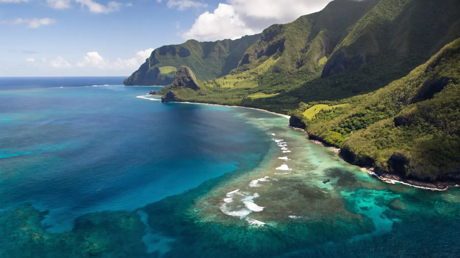
Dominica is one of the youngest and most mountainous islands in the Lesser Antilles, built by a chain of volcanoes. Its slopes continue steeply underwater, so there is very little shallow shelf where broad reef flats could develop. Instead, corals grow on narrow coastal margins, rocky slopes, boulder fields and volcanic pinnacles. The west coast, facing the Caribbean Sea, is sheltered from the Atlantic trade-wind swell and has the most coral. The rugged east (Atlantic) coast is battered by waves and has few reefs.
The map highlights two main areas. In the south-west, the coast curves around Soufrière Bay, the flooded remains of a volcanic crater, from the village of Soufrière to the Scotts Head peninsula. In the north-west, reefs fringe Prince Rupert Bay and the Cabrits headland near Portsmouth, Dominica’s second town. The map uses the UNEP-WCMC global reef layer, which records roughly 91 km² of reef around the island.
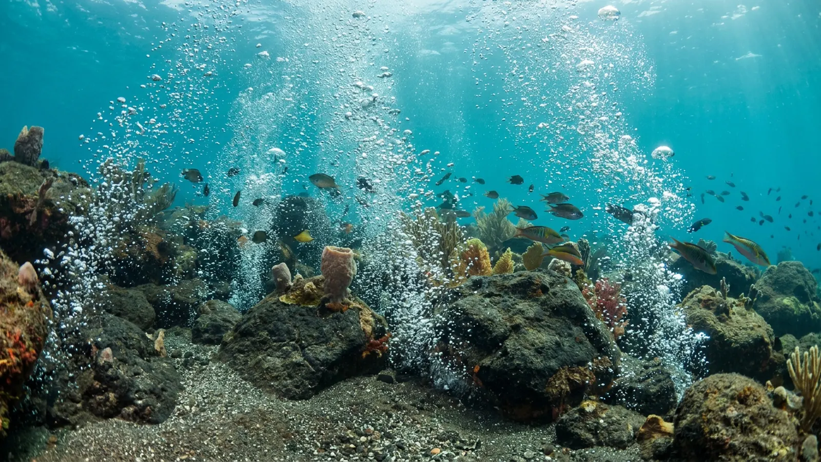
Champagne Reef and the Soufrière-Scotts Head Marine Reserve
Dominica’s south-west coast packs volcanic vents, pinnacles and walls into a small, protected area.
The Soufrière-Scotts Head Marine Reserve protects the waters of Soufrière Bay. It is managed with zones for different uses, including fishing priority areas and areas reserved for diving and recreation, and visitors pay a small fee that supports management.
Champagne Reef, near Pointe Michel, is the island’s best-known snorkel and dive site. Here, geothermal vents release streams of gas bubbles from the seabed, rising through the water like a glass of champagne and warming the water around them. Corals, sponges and reef fish live around the vents, making it one of the most unusual reef experiences in the Caribbean.
At the southern tip, the Scotts Head area offers pinnacles and walls that drop steeply into deep water, including the rim of the old crater, where the Atlantic and Caribbean meet. Sites such as Scotts Head Pinnacle and the drop-offs along the crater rim are covered with barrel sponges, sea fans, black coral and hard corals, with frogfish, seahorses, turtles and schools of reef fish.

Northern reefs and Cabrits National Park
Around Portsmouth, Dominica’s reefs combine coral, rocky slopes and a national park.
On the north-west coast, Cabrits National Park protects a forested headland with an 18th-century fort, together with surrounding marine areas, including parts of Douglas Bay. Reefs and rocky slopes here support sponges, soft corals and reef fish, and the sheltered waters of Prince Rupert Bay are a popular anchorage. Further down the coast between Portsmouth and Roseau, smaller reefs and rocky outcrops provide additional dive and snorkel sites.
Dominica’s reef fish and invertebrates are typical of the eastern Caribbean, with parrotfish, surgeonfish, angelfish, butterflyfish, groupers and snappers, along with lobsters, octopuses and a wide variety of sponges. Hawksbill, green and leatherback turtles also occur, and leatherbacks nest on some beaches.
Because the seafloor drops away so steeply, many of Dominica’s best sites are only a short swim or boat ride from shore, and divers often move from shallow coral gardens to deep walls within a single dive. The island’s volcanic sand is dark rather than white, and in many places corals and sponges grow directly on boulders, lava fingers and old landslide debris rather than on a classic limestone reef framework. That gives Dominica’s underwater landscape a rugged character quite different from the flat, sandy reef lagoons of islands such as the Bahamas or Turks and Caicos.
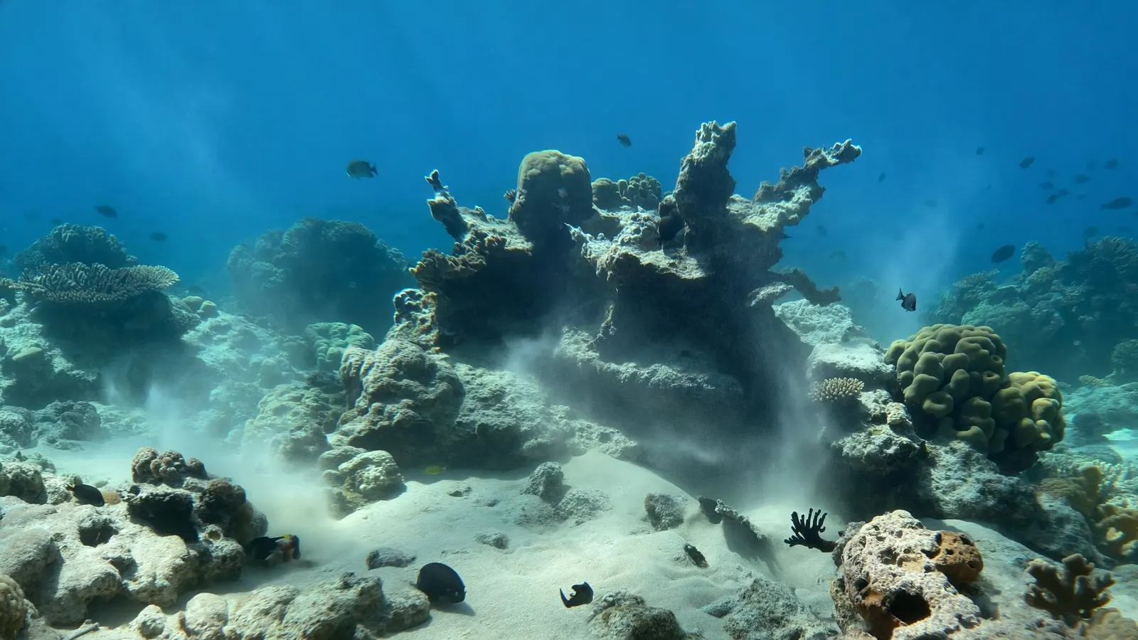
Threats to Dominica’s coral reefs
Dominica’s reefs face powerful storms, a rainy mountainous landscape and region-wide reef problems.
- Hurricanes. Hurricane Maria, a Category 5 storm, devastated Dominica in 2017, causing massive landslides and flooding that sent sediment and debris onto nearshore reefs and broke corals.
- Runoff and sediment. Dominica is famous for its many rivers. Heavy tropical rain carries sediment and nutrients from steep slopes into the sea, especially where land has been cleared.
- Coral disease and bleaching. Like the rest of the Caribbean, Dominica’s reefs are affected by coral diseases and by marine heatwaves such as the record heat of 2023. See coral reef bleaching.
- Fishing pressure and invasive lionfish, which affect reef fish populations.
Protecting the reefs of the Nature Isle
Dominica has built its identity around nature, and its reefs are part of that commitment.
The Soufrière-Scotts Head Marine Reserve and Cabrits National Park protect key reef areas, and Dominica’s focus on ecotourism gives communities an incentive to keep their reefs healthy. Reducing runoff through careful land use, managing fishing, controlling lionfish and rebuilding resilience after hurricanes are all part of the island’s approach. Visitors can help by paying reserve fees, using mooring buoys, never touching coral or standing on the reef and choosing operators who follow local guidelines. Learn more in coral reef conservation, and compare Dominica with its neighbours Guadeloupe and Martinique.
Related on TheSea
Does Dominica have coral reefs?
Yes. Dominica has fringing reefs and coral-covered volcanic slopes, mainly along its sheltered west coast, with the best-known areas in the Soufrière-Scotts Head Marine Reserve and around Portsmouth.
What is Champagne Reef in Dominica?
A snorkel and dive site near Pointe Michel where volcanic vents release streams of gas bubbles from the seafloor, rising like champagne among corals, sponges and reef fish.
Is Dominica good for diving?
Yes. Dominica is known for steep walls, pinnacles, volcanic vents and abundant sponges and macro life, especially around Scotts Head and Soufrière Bay, and for the chance to see sperm whales offshore.
Why does Dominica have so little reef?
The island is steep and volcanic, with very little shallow shelf. Corals grow on narrow margins and slopes rather than forming broad reef flats, and the exposed Atlantic coast has few reefs.
Can you see whales in Dominica?
Yes. Sperm whales live off Dominica’s west coast year-round, and other whales and dolphins are seen seasonally. In 2023 the country announced a sperm whale reserve to protect them.
How did Hurricane Maria affect Dominica’s reefs?
The 2017 storm caused heavy wave damage and sent large amounts of sediment and debris from landslides and floods onto nearshore reefs. Recovery has been gradual and varies from site to site.
- UNEP-WCMC, WorldFish, WRI, TNC (2021), Global distribution of warm-water coral reefs, v4.1
- Government of the Commonwealth of Dominica — Soufrière-Scotts Head Marine Reserve and Cabrits National Park
- Jackson et al. (2014), Status and Trends of Caribbean Coral Reefs: 1970–2012, GCRMN
Blane Perun has been exploring Earth’s oceans and marine life for over 25 years. Founder of TheSea.Org in 1999, underwater photographer, coral aquaculture pioneer, and explorer of 80+ countries.
About Blane Perun → More Coral Reef Maps →