Jamaica Coral Reef Maps — Montego Bay, Negril, Ocho Rios and Beyond
Jamaica’s coral reefs are mainly fringing reefs that line much of the coast, and they are best developed along the north coast — around Negril, Montego Bay, Discovery Bay and Ocho Rios. The south coast has patchier reefs plus the cays off Port Royal near Kingston, and much of Jamaica’s mapped reef lies far offshore on the Pedro Bank and around the Morant Cays. The UNEP-WCMC global dataset maps roughly 437 km² of reef in Jamaican waters. The map below shows where it is.
Few reefs in the world have been studied as closely as Jamaica’s. The north-coast reefs helped found modern coral reef science, then became the classic example of how a reef can flip from coral to seaweed when too much goes wrong at once. Today they are a place of slow, hard-won recovery driven by marine parks and community fish sanctuaries. This map and guide shows where Jamaica’s reefs are, what each area is known for, and what they face.
Jamaica coral reef map
Fringing reef lines the north coast; the largest reef areas lie offshore on the southern banks.
On the map, coral shading follows the island’s coastline, thickest along the north shore from Negril in the west to Port Antonio in the east. Along the south coast, reef is broken up by bays, river mouths and muddy shelf, but appears again around the Portland Bight area and the Port Royal cays off Kingston. Well to the south, the broad, shallow Pedro Bank and the Morant Cays carry extensive offshore reefs that most visitors never see.
The reef outlines are taken from the global warm-water coral reef dataset compiled by UNEP-WCMC with partners, built from satellite imagery and field surveys. Shading shows where reef structure exists, not how much living coral is on it. Some of Jamaica’s mapped reefs are now dominated by seaweed rather than coral, so a reef on the map is not necessarily a healthy one.

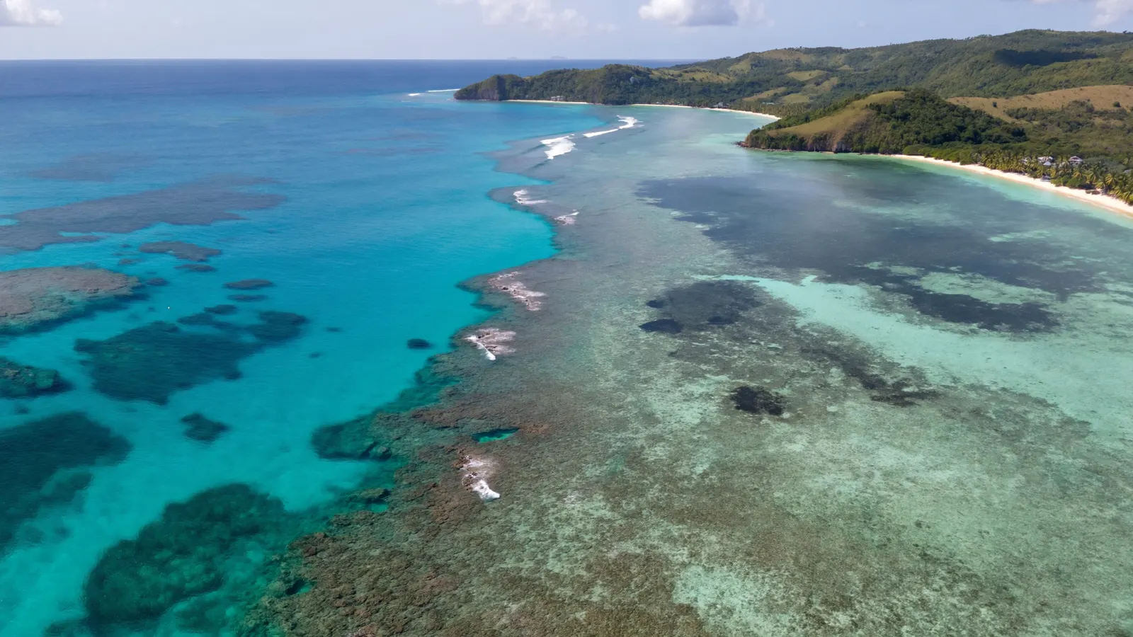
Jamaica’s main reef areas
From Negril to Port Royal, each stretch of coast has its own reef character.
- Negril (west) — fringing reefs and shallow reef flats off Jamaica’s famous Seven Mile Beach and the West End cliffs. Protected within the Negril Marine Park, they are popular for snorkelling and diving.
- Montego Bay (north-west) — fringing and patch reefs fronting the resort coast, protected by the Montego Bay Marine Park, one of the island’s longest-established marine protected areas.
- Discovery Bay (north) — home to the Discovery Bay Marine Laboratory of the University of the West Indies, where generations of scientists studied reef structure, coral growth and reef ecology.
- Ocho Rios and Oracabessa (north) — fringing reefs along a busy tourism coast, now including community-run fish sanctuaries.
- Port Royal cays (south, Kingston) — small sand cays and reefs near the entrance to Kingston Harbour, within the Palisadoes–Port Royal protected area.
- Pedro Bank and Morant Cays (offshore south) — large submerged banks with extensive reefs and small cays, important for Jamaica’s fisheries, including conch and lobster.
A cradle of coral reef science
Much of what we know about how Caribbean reefs work was first worked out on Jamaica’s north coast.
From the 1950s and 1960s, scientists working at Discovery Bay began mapping the zones of a Caribbean fringing reef in detail, from the shallow back reef to the steep fore-reef slope, and describing which corals dominated each zone. Work led by Thomas Goreau and colleagues established much of the basic vocabulary of reef zonation still used today. Long-term monitoring at the same sites then gave researchers something rare: a record of how a reef changed over decades. That record is why Jamaica’s reefs became so important when things started to go wrong. You can read more about reef zones in our guide to what ocean zone coral reefs are in.
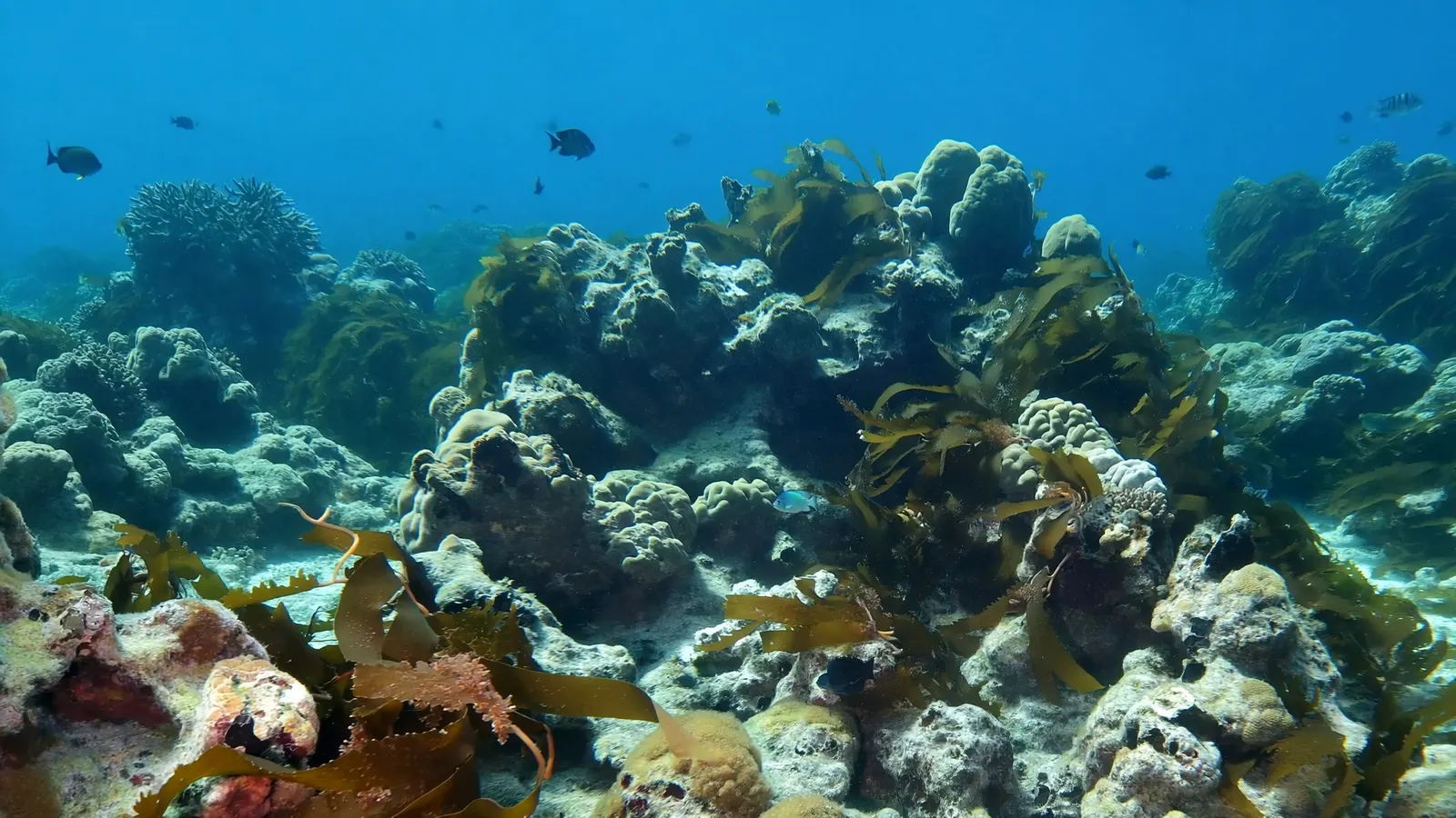
The collapse: from coral to seaweed
Hurricanes, overfishing and the loss of a single sea urchin combined to change Jamaica’s reefs.
By the late twentieth century, Jamaica’s reefs were already heavily fished. Many of the large herbivorous fish that graze seaweed had been removed, leaving the long-spined sea urchin, Diadema antillarum, as the main grazer keeping algae in check. In 1980, Hurricane Allen smashed many of the shallow branching corals on the north coast. Then, in 1983–84, a mysterious disease killed the great majority of Diadema urchins across the Caribbean. With almost nothing left to graze, seaweed spread over the reef faster than corals could recover, and live coral cover on many Jamaican reefs fell dramatically.
This switch from coral-dominated to algae-dominated reef — often called a phase shift — was documented in detail on Jamaican reefs and became one of the best-known case studies in marine ecology. It showed that overfishing, storms and disease can interact, and that losing herbivores can leave a reef unable to bounce back. The same pattern is discussed in our guide to the causes of coral reef destruction in the Caribbean.
Recovery: marine parks and fish sanctuaries
Jamaica is now known as much for community reef protection as for reef collapse.
Jamaica has created marine parks at Montego Bay and Negril and a network of special fishery conservation areas — no-fishing fish sanctuaries — along its coasts. Several, such as those at Oracabessa Bay, Bluefields Bay and the White River near Ocho Rios, are run with strong involvement from local fishers and communities. Wardens patrol the sanctuaries, and in some of them fish numbers and sizes have risen. Coral nurseries grow fragments of threatened corals, such as staghorn coral, for replanting on degraded reefs.
Diadema urchins have returned in some shallow areas, helping clear seaweed and allowing young corals to settle, although recovery has been uneven and a further urchin die-off affected parts of the Caribbean in 2022. Jamaica’s reefs are not what they were in the 1970s, but they show that protection can make a real difference.
Threats to Jamaica’s coral reefs today
Old pressures remain and new ones have arrived.
Overfishing is still widespread outside sanctuaries. Land-based pollution — sewage, fertiliser and sediment from rivers and coastal development — fuels algae and smothers coral, especially near towns. Marine heatwaves have caused repeated bleaching across the Caribbean, including Jamaica, and coral diseases, among them stony coral tissue loss disease, have affected many reef-building species in the region. Hurricanes remain a natural but powerful disturbance. Because these stresses act together, keeping grazers abundant and water clean is the best way to give corals a chance to recover between disturbances. Our coral reef conservation section covers the wider picture.
Related on TheSea
- Bermuda Coral Reef Maps
- Martinique Coral Reef Maps
- St Vincent & the Grenadines Coral Reef Maps
- Dominica Coral Reef Maps
- Saint Kitts & Nevis Coral Reef Maps
- St Lucia Coral Reef Maps
- Grenada Coral Reef Maps
- Guadeloupe Coral Reef Maps
- British Virgin Islands (UK Virgin Islands) Coral Reef Maps
- Barbados Coral Reef
- Bahamas Coral Reef
- Roatan Coral Reef
Where are the coral reefs in Jamaica?
Mostly fringing reefs along the coast, especially the north coast around Negril, Montego Bay, Discovery Bay and Ocho Rios. There are also reefs on parts of the south coast, the Port Royal cays near Kingston, and large offshore reefs on the Pedro Bank and Morant Cays.
Does Jamaica have a barrier reef?
Jamaica’s coastal reefs are mainly fringing reefs that grow close to shore, not a single barrier reef. In places the outer reef crest shelters a shallow lagoon, which is sometimes described locally as a barrier, but there is no barrier reef like Belize’s.
How much coral reef does Jamaica have?
The UNEP-WCMC global reef dataset maps roughly 437 km² of reef in Jamaican waters, including the offshore banks. That is reef extent, not the area of living coral.
What happened to Jamaica’s coral reefs?
Overfishing removed many grazing fish, Hurricane Allen in 1980 damaged shallow corals, and a disease in 1983–84 killed most long-spined sea urchins. With few grazers left, seaweed overgrew many reefs and live coral cover fell sharply — a well-known phase shift from coral to algae.
Are Jamaica’s reefs recovering?
In places. Marine parks, community fish sanctuaries, coral nurseries and the partial return of sea urchins have improved some reefs, though recovery is uneven and the reefs still face warming, disease and pollution.
Where is the best snorkelling in Jamaica?
Popular reef areas include Negril, the Montego Bay Marine Park and the reefs around Ocho Rios. Calm, clear days on the north coast generally offer the best visibility.
- UNEP-WCMC, WorldFish Centre, WRI, TNC: Global distribution of warm-water coral reefs, v4.1 (2021)
- Hughes, T. P. (1994), catastrophes, phase shifts and large-scale degradation of a Caribbean coral reef, Science
- University of the West Indies, Discovery Bay Marine Laboratory
- National Environment and Planning Agency (Jamaica): marine protected areas and fish sanctuaries
Blane Perun has been exploring Earth’s oceans and marine life for over 25 years. Founder of TheSea.Org in 1999, underwater photographer, coral aquaculture pioneer, and explorer of 80+ countries.
About Blane Perun → More Caribbean Coral Reef Maps →