Turks and Caicos Coral Reef Maps — Banks, Walls and Winter Whales
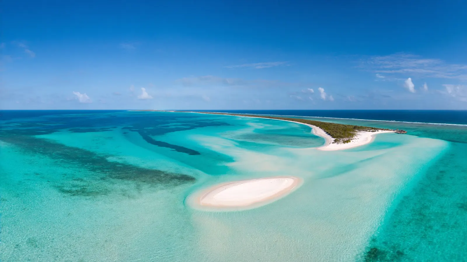
The coral reefs of the Turks and Caicos Islands grow along the edges of two shallow limestone platforms at the south-eastern end of the Bahamas chain: the large Caicos Bank and the smaller Turks Bank. Fringing and barrier-style reefs line the north shore of Providenciales (Provo), including Grace Bay, and dramatic walls drop into deep water off Provo, West Caicos, Grand Turk and Salt Cay. The deep Turks Island Passage between the two banks is a winter migration route for humpback whales. UNEP-WCMC maps roughly 190 km² of reef in the territory.
The Turks and Caicos Islands are a British Overseas Territory of around 40 low islands and cays, best known for powder-white beaches and some of the clearest water in the Caribbean region. Beneath that water lie shallow reef flats, sprawling seagrass meadows, patch reefs and vertical walls that fall away into the deep Atlantic. This page maps the coral reefs of Turks and Caicos, explains how the banks shape where reefs grow, highlights the main reef areas and looks at the threats and protection that will decide their future. For neighbouring islands, see the Caribbean coral reef maps and the Bahamas coral reef maps.
Reading the Turks and Caicos coral reef map
On the map, reefs trace the rims of the shallow banks, where the flats meet the deep ocean.
The Turks and Caicos are built on two carbonate platforms, like the islands of the Bahamas to the north-west. The Caicos Bank is a vast, shallow, mostly sandy shelf with the Caicos Islands — Providenciales, North, Middle, East, South and West Caicos — strung along its northern and western rims. The Turks Bank, to the east, carries Grand Turk and Salt Cay. Between them runs the Turks Island Passage (also called the Columbus Passage), a deep channel more than 2,000 metres deep in places.
Reefs grow mainly where the shallow banks meet deep water, because that is where clear, nutrient-poor ocean water bathes hard bottom. Look for the reef line along the north coast of the Caicos Islands, the reefs off West Caicos and around Grand Turk and Salt Cay. Inside the banks, scattered patch reefs dot seagrass and sand. The map uses the UNEP-WCMC global reef layer, which records roughly 192 km² of coral reef in the territory.
Main reef areas of Turks and Caicos
Each island offers a different face of the reef, from shallow snorkelling to some of the region’s best wall diving.
| Area | Island | Known for |
|---|---|---|
| Grace Bay reef | Providenciales | Barrier-style reef offshore; Princess Alexandra National Park |
| Northwest Point | Providenciales | Wall dives along the bank edge |
| West Caicos | West Caicos | Walls close to shore, clear water |
| French Cay | Caicos Bank (south) | Remote reefs, sharks and rays |
| Grand Turk wall | Grand Turk | Wall starting a short swim from shore; Columbus Landfall park |
| Salt Cay | Salt Cay | Quiet reefs, whale watching, historic wrecks |
Providenciales is the main tourist island. A long reef line runs parallel to its north shore, enclosing calm lagoon water off Grace Bay, which is protected as part of Princess Alexandra National Park. Snorkellers explore patch reefs close to the beach, and divers head to the walls off Northwest Point and nearby West Caicos. Grand Turk, the capital island, is famous for a wall that begins a short distance from shore and drops steeply into the Turks Island Passage. Salt Cay, to the south, offers quiet reefs and is a base for watching humpback whales in season.
Walls, banks and winter whales
The meeting of shallow bank and deep ocean creates the islands’ signature marine experiences.
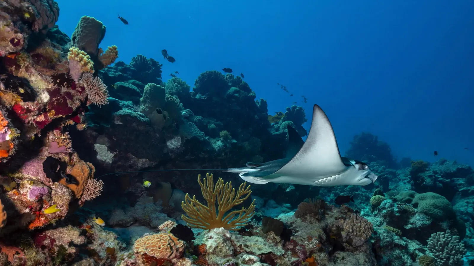
The walls are the highlight for many divers. Reef-covered tops in 10 to 15 metres of water give way to near-vertical drop-offs covered with sponges, sea fans, black corals and plate corals. Caribbean reef sharks, nurse sharks, eagle rays, hawksbill and green turtles, groupers and large schools of reef fish are regular sights. Inside the banks, seagrass and sand flats support queen conch, stingrays and juvenile fish, linking the shallow lagoons to the outer reefs.
Each winter, humpback whales migrate through the Turks Island Passage on their way to and from breeding grounds on the Silver and Mouchoir banks to the south-east. From roughly January to April, whales can be seen from boats and sometimes heard singing by divers on the walls.
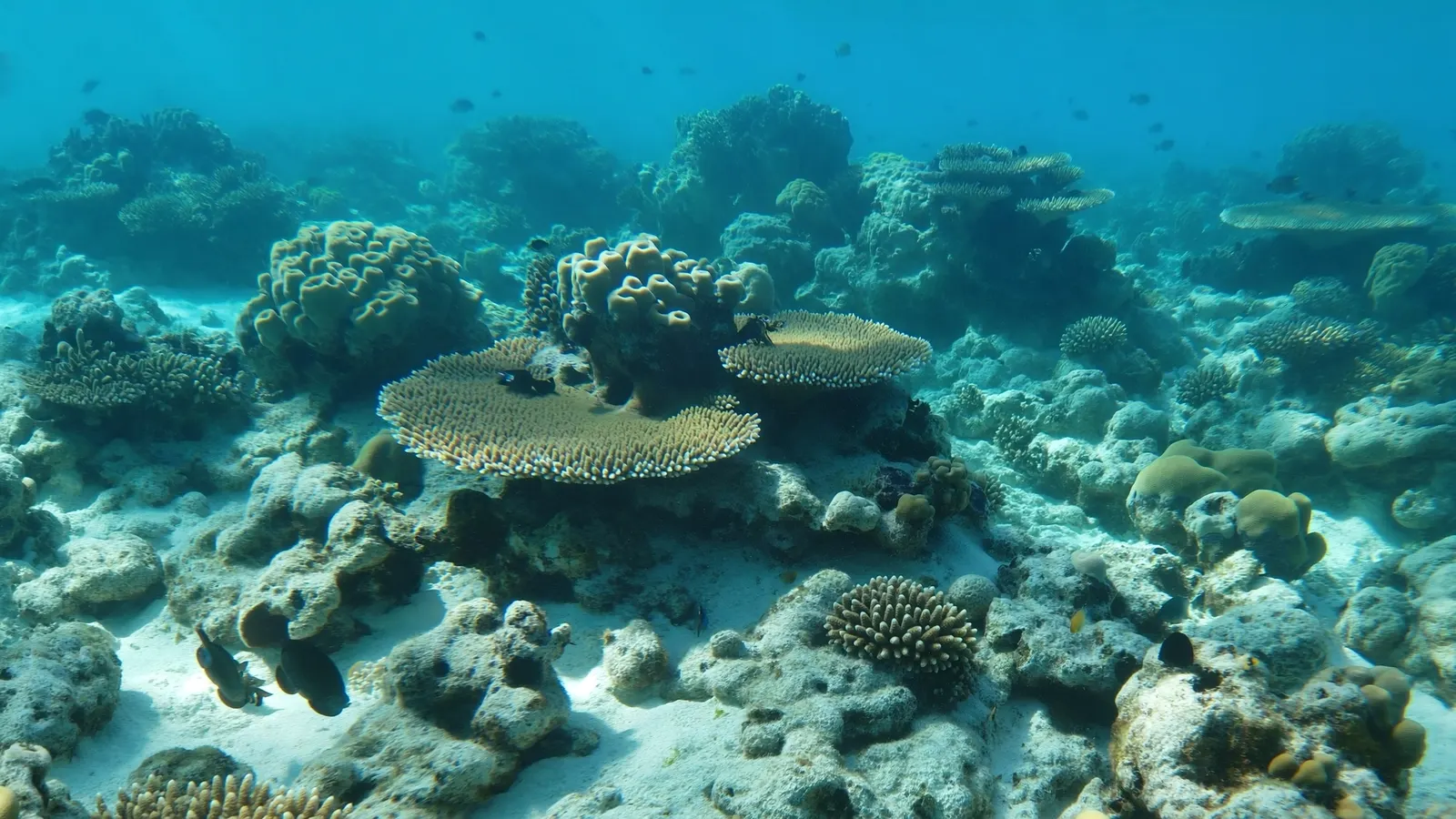
The banks themselves are just as important to the reef ecosystem as the walls. The shallow interior of the Caicos Bank is a mosaic of sand, seagrass, algal flats and scattered patch reefs, with mangrove-lined creeks and wetlands along the southern shores of the larger Caicos Islands. These sheltered habitats serve as nurseries for juvenile fish, lobster and conch, which later move out to the reefs along the bank edge. Protecting the bank habitats is therefore part of protecting the reefs.

Threats to Turks and Caicos coral reefs
Like reefs throughout the Caribbean, those of the Turks and Caicos face both regional and local pressures.
- Coral disease. Stony coral tissue loss disease reached the islands in recent years and has killed many brain, star and pillar corals.
- Bleaching. Marine heatwaves, including the record heat of 2023 across the Caribbean, have caused coral bleaching. See coral reef bleaching.
- Hurricanes. Storms such as Irma and Maria in 2017 damaged reefs and shorelines.
- Coastal development and runoff, especially around Providenciales, can add nutrients and sediment to lagoons.
- Fishing pressure on queen conch, spiny lobster and reef fish, and invasive lionfish.
Why the reefs matter to the islands
Tourism, fisheries and the islands’ famous beaches all depend on healthy reefs.
Tourism is the backbone of the Turks and Caicos economy, and much of it is built on beaches, snorkelling, diving and boating. The reefs help create those beaches by producing carbonate sand and by sheltering the shore from Atlantic swells. Queen conch and spiny lobster, taken from the banks, have long been important for local livelihoods and exports, particularly around South Caicos. For low-lying islands exposed to hurricanes, the reef line along the bank edge also acts as a natural breakwater. Visitors can help by using mooring buoys, never standing on or touching coral, respecting park rules and fishing seasons, and choosing operators who follow good practice.
Related on TheSea
- Dominica Coral Reef Maps
- Martinique Coral Reef Maps
- St Lucia Coral Reef Maps
- St Vincent & the Grenadines Coral Reef Maps
- Grenada Coral Reef Maps
- Guadeloupe Coral Reef Maps
- Montserrat Coral Reef Maps
- Saint Kitts & Nevis Coral Reef Maps
- Anguilla Coral Reef Maps
- Dutch Antilles Coral Reef Maps
- Barbados Coral Reef Maps
- Barbados Coral Reef
Does Turks and Caicos have a barrier reef?
Yes, in the sense of a long reef line running offshore. A barrier-style reef runs along the north coast of Providenciales and the other Caicos Islands, enclosing calm lagoon water such as Grace Bay.
Where is the best snorkelling in Turks and Caicos?
Popular spots include the patch reefs inside Grace Bay and Bight Reef (Coral Gardens) on Providenciales, Smith’s Reef, and the shallow reefs around Grand Turk. Check local conditions and park rules before you go.
Is Turks and Caicos good for diving?
Yes. The islands are known for clear water and wall dives off Grand Turk, Salt Cay, West Caicos and Northwest Point, with sharks, turtles, eagle rays and seasonal humpback whales.
How much coral reef does Turks and Caicos have?
The UNEP-WCMC global reef map records roughly 192 km² of coral reef in the territory, mostly along the edges of the Caicos and Turks banks.
When can you see whales in Turks and Caicos?
Humpback whales pass through the Turks Island Passage roughly from January to April, on their way to and from breeding grounds to the south-east.
Are the reefs in Turks and Caicos healthy?
Conditions vary. Coral disease, bleaching and hurricanes have damaged many reefs in recent years, but protected areas and restoration efforts are helping, and the walls and outer reefs still support abundant marine life.
- UNEP-WCMC, WorldFish, WRI, TNC (2021), Global distribution of warm-water coral reefs, v4.1
- Turks and Caicos Islands Department of Environment and Coastal Resources — protected areas
- Jackson et al. (2014), Status and Trends of Caribbean Coral Reefs: 1970–2012, GCRMN
Blane Perun has been exploring Earth’s oceans and marine life for over 25 years. Founder of TheSea.Org in 1999, underwater photographer, coral aquaculture pioneer, and explorer of 80+ countries.
About Blane Perun → More Coral Reef Maps →