How Deep Is the Ocean? — About 3,700 Metres on Average
The ocean is about 3,682 m (12,080 ft) deep on average, roughly 2.3 miles, and about 10,935 m at its deepest point in the Mariana Trench. Most of the seafloor is abyssal plain at 3,000–6,000 m, so the “average” ocean is deep, dark and cold.
A 2010 analysis of satellite and sonar data by Charette and Smith put the average depth of the global ocean at about 3,682 m. Older textbooks often quote about 3,800 m or 4,000 m; the difference comes from improved seafloor maps. Only about a quarter of the seafloor has been mapped at high resolution, so the figure may still shift slightly.
How deep is each ocean?
The Pacific is the deepest on average and the Arctic by far the shallowest.
| Ocean | Average depth (approx.) | Deepest point |
|---|---|---|
| Pacific | ~4,000 m | Challenger Deep, ~10,935 m |
| Indian | ~3,700–3,900 m | Java (Sunda) Trench, ~7,190 m |
| Atlantic | ~3,300–3,650 m | Puerto Rico Trench, ~8,376 m |
| Southern | ~3,300–4,500 m | South Sandwich Trench, ~7,434 m |
| Arctic | ~1,000–1,200 m | Molloy Deep, ~5,550 m |
Averages vary with how each ocean’s boundaries are drawn. For the full story on each deepest point, see the deepest point in every ocean and how deep is the Southern Ocean.
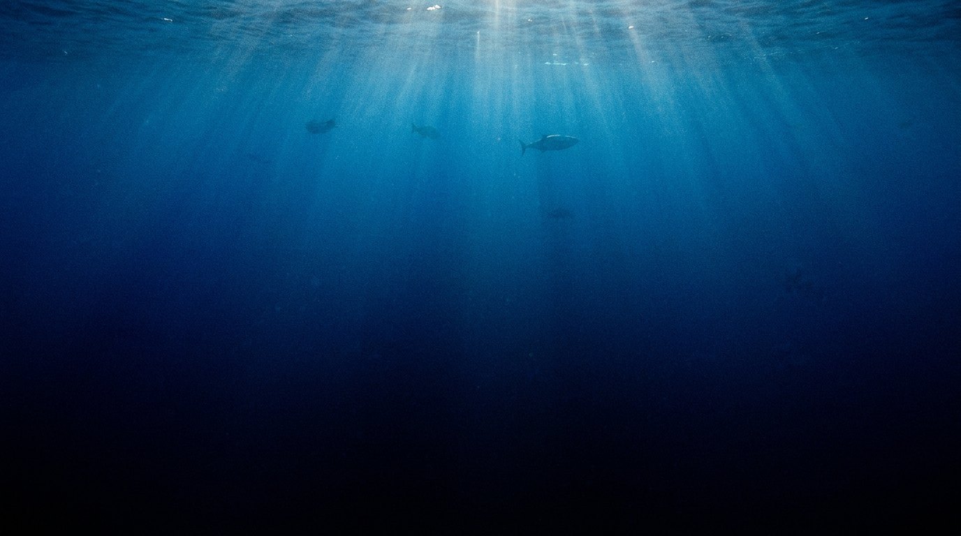
What are the depth zones of the ocean?
Oceanographers divide the water column into five layers based mainly on light and depth.
| Zone | Depth | Conditions |
|---|---|---|
| Epipelagic (sunlight zone) | 0–200 m | Light for photosynthesis; most life |
| Mesopelagic (twilight zone) | 200–1,000 m | Dim blue light; lanternfish, squid |
| Bathypelagic (midnight zone) | 1,000–4,000 m | No sunlight; bioluminescence; ~4°C |
| Abyssopelagic (abyss) | 4,000–6,000 m | Near freezing; abyssal plains |
| Hadopelagic (trenches) | 6,000–11,000 m | Trenches only; extreme pressure |
The open-ocean water column as a whole is the pelagic zone; see what the open ocean is called.
How do scientists measure ocean depth?
Mostly with sound: ships send sonar pings to the seafloor and time the echo; satellites fill gaps by measuring tiny bumps in the sea surface.
Early sailors lowered weighted lines. Since the 1920s, echo sounders have used the speed of sound in seawater, about 1,500 m/s, to calculate depth (see echo sounding). Modern multibeam sonar maps wide swaths at once. Satellite altimetry infers seafloor shape from sea-surface height, but at coarse resolution. The Nippon Foundation–GEBCO Seabed 2030 project reports that roughly a quarter of the seafloor is now mapped in high detail, which is why we have better maps of Mars.
Why does the ocean get colder and darker with depth?
Sunlight is absorbed within the top few hundred metres, and the deep ocean is filled with cold, dense water that sank near the poles.
Red light disappears within the first few metres and blue light fades by about 200 m; below 1,000 m the only light is bioluminescence. Temperature drops sharply through the thermocline, typically between about 200 and 1,000 m, then levels off at 0–4°C all the way to the bottom. Pressure rises by about one atmosphere every 10 m, so at the average depth of 3,682 m it is roughly 370 times sea-level pressure. These three gradients, light, temperature and pressure, shape where animals can live and why deep-sea species look so different; see why the bottom of the ocean is coldest and why deep-sea animals are red.
What does the deep seafloor look like?
Mostly flat abyssal plains, broken by mid-ocean ridges, seamounts, canyons and trenches.
Abyssal plains at 3,000–6,000 m cover more than half of Earth’s surface and are among the flattest landscapes anywhere, blanketed in fine sediment that accumulates at a few centimetres per thousand years. The mid-ocean ridge rises 2–3 km above them, and tens of thousands of seamounts dot the basins. Trenches, the deepest features, cover less than 2% of the seafloor.
Why is the ocean so deep in the first place?
The ocean is deep because Earth has two very different kinds of crust. Continental crust is thick, typically 30 to 50 km, and made of relatively light granitic rocks. Oceanic crust is only about 6 to 7 km thick and made of denser basalt and gabbro. Both float on the hotter, denser mantle beneath, and just as a thick block of wood floats higher than a thin one, the thick, light continents ride high while the thin, dense ocean floor sits low. This balance is called isostasy.
The result is visible in a graph of Earth’s surface elevations, called a hypsometric curve. Instead of a single peak, it has two: one near sea level for the continents and one at around 4 to 5 km below sea level for the ocean floor. Earth is unusual among the rocky planets in having this two-level surface, and it is the reason oceans fill deep basins rather than spreading thinly across the whole planet.
Why does the seafloor get deeper with age?
New ocean crust forms at mid-ocean ridges, where hot mantle rock rises and melts. Young crust is hot and buoyant, so the ridges stand high, typically 2.5 km or so below the sea surface. As the crust moves away from the ridge, it cools, contracts and becomes denser, so it sinks. Geophysicists found that the depth of the ocean floor increases roughly in proportion to the square root of its age, a pattern first described in detail in the 1970s by Barry Parsons and John Sclater.
That simple rule explains much of the shape of the ocean basins. Crust that is a few million years old lies at around 3 km depth, while crust about 100 million years old lies at around 5 to 6 km. The oldest parts of the ocean floor, in the western Pacific, are among the deepest outside the trenches. It also explains why the average depth of the ocean has changed over geological time: when spreading is fast and ridges are large, the basins hold less water and sea level rises on the continents.
How much of the ocean is shallow?
Only a small fraction of the ocean is shallow. The continental shelves, the submerged edges of the continents, extend from the coast to the shelf break, usually at depths of about 100 to 200 metres. They cover roughly 7 to 8 percent of the ocean area, yet they host most of the world’s fisheries, offshore oil and gas, and much of its marine biodiversity, because sunlight and nutrients are plentiful.
Beyond the shelf break, the continental slope drops steeply to depths of several kilometres, often cut by submarine canyons. At its base, the continental rise grades into the abyssal plains. The deep ocean below 3,000 metres makes up roughly three-quarters of the seafloor, so for most of the planet, the bottom of the sea is a dark, cold, high-pressure world.
How did early explorers measure the depth of the ocean?
For most of history, the depth of the open ocean was unknown. Sailors measured shallow water with a lead weight on a line, and tallow in a hollow at the bottom of the weight brought up samples of sand or mud. In deep water this method was slow and unreliable, because currents carried the line sideways and it was hard to tell when the weight touched bottom.
The British research ship HMS Challenger, on its expedition of 1872 to 1876, made the first systematic deep-sea soundings around the world, using hemp line and heavy weights. Each sounding could take hours. In 1875, in the western Pacific near Guam, the crew recorded a depth of more than 8,000 metres in what would later be named the Challenger Deep. The expedition’s results laid the foundations of oceanography and revealed that the deep sea was not lifeless, as many had believed.
What changed with echo sounding?
Echo sounding transformed ocean mapping in the twentieth century. Instead of lowering a line, a ship sends a pulse of sound to the seafloor and times the echo. The German research ship Meteor, during its expedition to the South Atlantic from 1925 to 1927, used echo sounders to take tens of thousands of depth measurements, revealing the rugged relief of the Mid-Atlantic Ridge.
After the Second World War, continuous echo sounders collected depth profiles along thousands of ship tracks. The geologist Marie Tharp, working with Bruce Heezen at Columbia University, used these profiles to draw maps of the ocean floor, culminating in their World Ocean Floor panorama of 1977. Their maps showed the global mid-ocean ridge system and the rift valley along its crest, key evidence for plate tectonics. Modern multibeam sonar, which measures a wide fan of depths at once, has since mapped large areas in fine detail.
Why did estimates of the average depth change?
As maps improved, the estimated average depth of the ocean shifted. In 1966, H. W. Menard and Stuart Smith calculated an average depth of about 3,730 metres from the best charts available at the time. In 2010, Matthew Charette and Walter Smith used a global bathymetric grid that combined ship soundings with depths estimated from satellite measurements of the sea surface, and arrived at about 3,682 metres and a total ocean volume of about 1.33 billion cubic kilometres.
The difference reflects better data rather than a change in the ocean itself. Older estimates relied on sparse soundings and had to fill large gaps by guesswork. As mapping projects such as Seabed 2030 add high-resolution data, the numbers may change slightly again, but the broad picture of an ocean averaging about 3.7 km deep is now well established.
How do satellites map the seafloor?
It may seem surprising that satellites can measure the shape of the seafloor through kilometres of water. They do it indirectly. A large seamount or ridge has extra mass, and its gravity pulls water towards it, creating a bulge in the sea surface that can be a metre or more high above a big seamount. Trenches create corresponding dips. Radar altimeters on satellites measure the height of the sea surface with high precision, and scientists use these measurements to infer the shape of the seafloor below.
Global maps produced in this way since the 1990s, notably by Walter Smith and David Sandwell, revealed thousands of previously unknown seamounts. Their resolution is limited to features several kilometres across, and the depths they estimate need to be calibrated with ship soundings. Newer satellites, such as the SWOT mission launched in 2022, are improving the detail, but sonar remains essential for accurate charts.
How does depth affect sound in the ocean?
Sound behaves in a peculiar way in the deep ocean. Its speed depends on temperature and pressure. Near the surface, warm water makes sound travel faster. With depth, the water cools and sound slows, but below a certain depth increasing pressure begins to speed it up again. The result is a layer of minimum sound speed, typically at around 600 to 1,200 metres in the mid-latitudes, called the SOFAR channel.
Sound waves entering this layer are bent back towards its centre and can travel thousands of kilometres with little loss. The channel was investigated in the 1940s by Maurice Ewing and J. Lamar Worzel, and it has been used to locate downed aircraft, to monitor nuclear tests and earthquakes, and to measure ocean temperature over vast distances. Some scientists think that large whales use the channel to communicate across ocean basins.
Why is the deepest seafloor covered in red clay?
The type of sediment on the seafloor changes with depth. Many plankton build shells of calcium carbonate, which sink when they die. In shallower parts of the ocean, these shells accumulate to form white, chalky carbonate ooze. Deeper down, cold, high-pressure water containing more dissolved carbon dioxide becomes corrosive to carbonate, and the shells dissolve before they can accumulate.
The depth below which carbonate is absent is called the carbonate compensation depth. It is typically around 4,000 to 5,000 metres, shallower in the Pacific than in the Atlantic. Below it, the seafloor is covered instead by fine reddish-brown clay, made of wind-blown dust and volcanic particles, or by siliceous ooze from plankton with glassy shells. Red clay accumulates extremely slowly, often less than a millimetre per thousand years.
How deep can animals live?
Life exists at every depth in the ocean, including the bottom of the deepest trenches, where amphipods, sea cucumbers and microbes thrive. Fish, however, appear to have a depth limit. The deepest fish ever filmed, a snailfish, was recorded in 2022 at 8,336 metres in the Izu-Ogasawara Trench south of Japan. Scientists think that fish cannot survive much below about 8,200 to 8,400 metres, possibly because of limits on how much of the protective molecule trimethylamine N-oxide their cells can accumulate to counter the effects of pressure.
Invertebrates and microbes can live deeper still. Their adaptations include proteins and membranes that remain flexible under extreme pressure. Studying them helps scientists understand the limits of life on Earth and where life might exist in the oceans of other worlds.
Is the ocean getting deeper?
Sea level is rising as the ocean warms and expands and as land ice melts, so the ocean is gaining water. The rise over the past century is measured in tens of centimetres, a tiny change compared with the average depth of 3,682 metres but significant for coastal communities. Over geological time, much larger changes occur. During the last Ice Age, sea level was more than 100 metres lower than today, and during warm periods such as the Cretaceous, it was much higher.
The shape of the basins also changes slowly as plates move, ridges spread and old crust is subducted. Over millions of years, these processes can change the volume of the ocean basins and therefore sea level. On human timescales, however, the depth of the ocean is effectively fixed, while the water level at the surface is what changes.
How deep is the ocean on average?
About 3,682 m (12,080 ft), or roughly 2.3 miles.
What is the deepest part of the ocean?
The Challenger Deep in the Mariana Trench, about 10,935 m deep.
Which ocean is the deepest on average?
The Pacific, at roughly 4,000 m.
Which ocean is the shallowest?
The Arctic Ocean, averaging about 1,000–1,200 m.
How deep does sunlight reach in the ocean?
Enough light for photosynthesis reaches about 200 m; faint light can be detected to about 1,000 m.
How much of the ocean floor has been mapped?
About a quarter at high resolution, according to Seabed 2030.
- Charette, M. A. & Smith, W. H. F. (2010). The volume of Earth’s ocean. Oceanography 23(2): 112–114.
- NOAA: How deep is the ocean?
- Nippon Foundation–GEBCO Seabed 2030 progress reports.
- Charette, M.A. & Smith, W.H.F. (2010). The volume of Earth’s ocean. Oceanography 23(2): 112–114.
- Menard, H.W. & Smith, S.M. (1966). Hypsometry of ocean basin provinces. Journal of Geophysical Research 71.
- Parsons, B. & Sclater, J.G. (1977). An analysis of the variation of ocean floor bathymetry and heat flow with age. Journal of Geophysical Research 82.
- Smith, W.H.F. & Sandwell, D.T. (1997). Global sea floor topography from satellite altimetry and ship depth soundings. Science 277.
- Jamieson, A.J. et al. (2023). Fish, primarily snailfish, at hadal depths and the deepest record (8,336 m) in the Izu-Ogasawara Trench. Reported by University of Western Australia.
Blane Perun has been exploring Earth’s oceans and marine life for over 25 years. Founder of TheSea.Org in 1999, underwater photographer, coral aquaculture pioneer, and explorer of 80+ countries.
