Roatan Coral Reef — Map, Dive Sites and the Southern Mesoamerican Reef
The Roatan coral reef is a fringing reef that surrounds Roatan, the largest of Honduras’ Bay Islands, in the western Caribbean. It forms part of the southern end of the Mesoamerican Reef, the largest reef system in the Atlantic, which runs about 1,000 km from Mexico’s Yucatán Peninsula through Belize and Guatemala to Honduras. On Roatan the reef sits just offshore, often dropping into steep walls within swimming distance of the beach, which makes the island one of the Caribbean’s most popular and affordable places to snorkel and dive. Much of the reef around the western end is protected within the Roatan Marine Park area and the Bay Islands National Marine Park.
Roatan has become one of the best-known dive islands in the Caribbean for a simple reason: the reef is right there. In West End and West Bay you can walk off the beach, swim a few minutes and be floating over coral heads, sand channels and the lip of a wall that drops into blue water. The island combines that easy access with healthy-looking reefs by Caribbean standards, abundant fish life and relatively low costs. This page maps the reef around Roatan and its neighbours, highlights the best-known areas and explains the threats and protection efforts.
Roatan and Bay Islands coral reef map
Fringing reef rings Roatan, Utila and Guanaja, the southern outpost of the Mesoamerican Reef off the north coast of Honduras.
The reef outlines come from the UNEP-WCMC global coral reef dataset, compiled from satellite imagery and surveys. Roatan is a long, narrow island running roughly east–west, and the reef follows almost its entire coastline. On the north side, the reef crest sits farther offshore and encloses a shallow lagoon, with the outer reef dropping steeply beyond it. On the south side, the reef lies closer to shore and is cut by channels and coves. The western tip, around West End and West Bay, has the highest concentration of dive sites and resorts. Utila lies about 30 km to the south-west, Guanaja to the north-east, and the small Cayos Cochinos (Hog Islands) to the south, each with its own fringing reef.
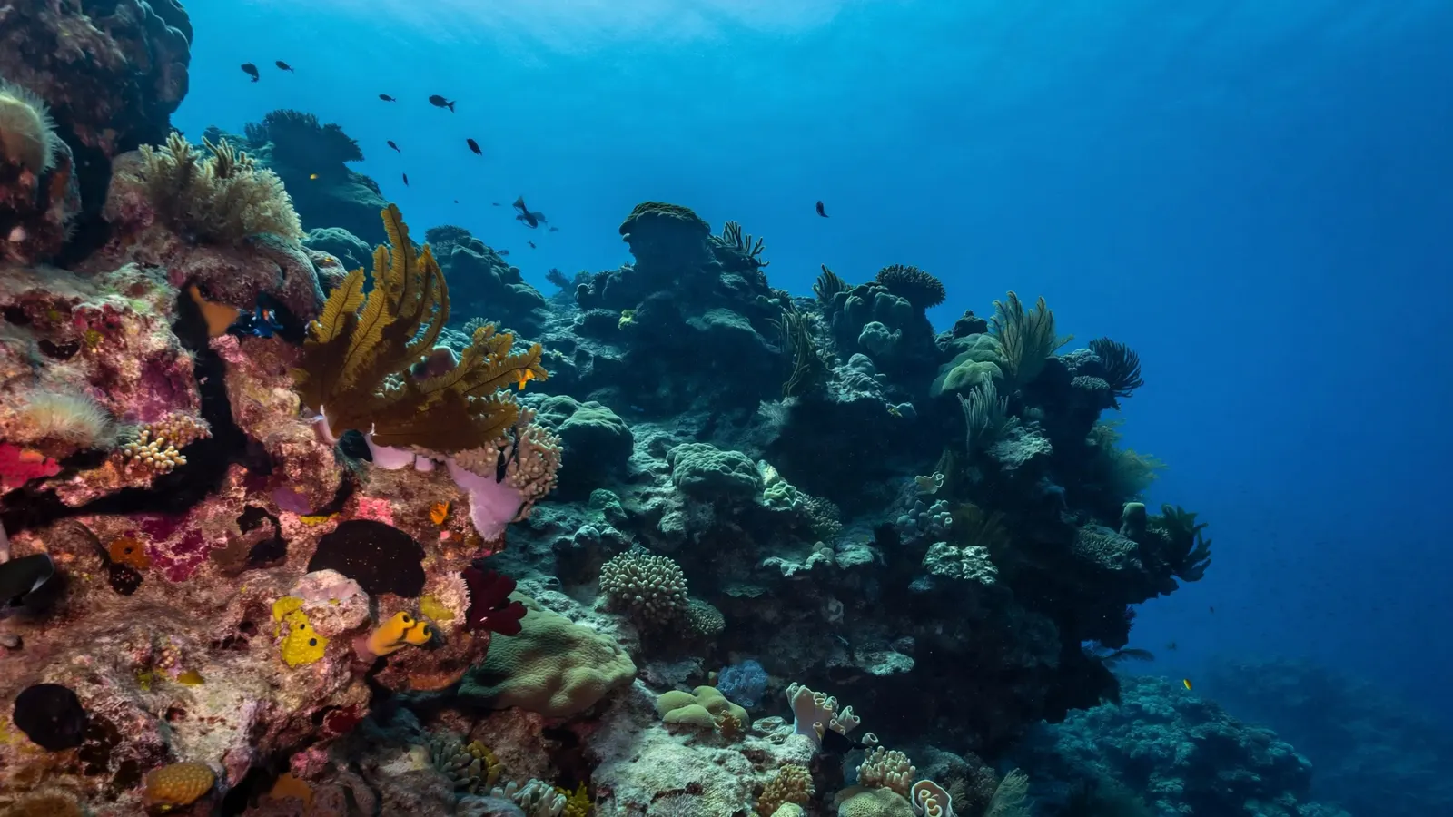
The best-known reef areas around Roatan
West End and West Bay draw most visitors, but the south coast, north shore and eastern end each have their own character.
| Area | Where | Known for |
|---|---|---|
| West End & West Bay | Western tip of Roatan | Shore snorkelling, walls, most dive shops |
| Sandy Bay | North-west coast | Calm reef, research and marine park base |
| South-side walls | South coast | Mary’s Place crevices, wrecks, sharks |
| Cordelia Banks | Off the south coast near Coxen Hole | Dense living staghorn coral thickets |
| North shore reefs | North coast | Lagoon and outer wall |
| Utila | South-west of Roatan | Budget dive training; whale sharks |
| Cayos Cochinos | South of Roatan | Small protected islands with healthy reef |
Among Roatan’s most famous dive sites are Mary’s Place, where divers swim through narrow cracks in the reef wall; the wreck of the El Aguila off West End; and several sites known for spotted eagle rays, turtles and large schools of fish. Off the south coast, organised dives offer close encounters with Caribbean reef sharks. Cordelia Banks stands out because it still holds large thickets of living staghorn coral, a species that has declined steeply across most of the Caribbean.
Part of the Mesoamerican Reef
Roatan sits at the southern end of a reef system that runs about 1,000 km down the coast of Central America.
The Mesoamerican Reef stretches from the tip of the Yucatán Peninsula along the coast of Mexico and Belize, past Guatemala, to the Bay Islands of Honduras. It is the largest reef system in the Atlantic and is often ranked second in size worldwide after the Great Barrier Reef. Currents flowing along the coast connect its reefs, carrying coral larvae and fish between countries, so the health of Roatan’s reefs is linked to the whole system. The four countries cooperate through regional programmes that monitor reef condition and publish regular report cards.
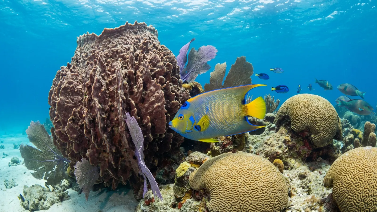
Marine life on the Roatan reef
Expect classic Caribbean reef life: brain and star corals, sea fans and sponges, turtles, eagle rays, morays and big schools of reef fish.
Roatan’s reefs are built by Caribbean hard corals such as brain coral, star coral, pillar coral and, in places, elkhorn and staghorn coral, with large barrel sponges, tube sponges and sea fans along the walls. Common fish include parrotfish, blue tang, queen and French angelfish, groupers, snappers, grunts and barracuda. Divers regularly see hawksbill and green turtles, spotted eagle rays, green moray eels, seahorses and octopus. Off Utila, whale sharks are seen in some seasons, feeding on plankton in deeper water. Invasive lionfish arrived in the late 2000s; local divers have culled them intensively, and some areas now have far fewer than at their peak.
Threats to Roatan’s coral reef
Warming, disease, sewage and fast-growing tourism are the main pressures.
The Bay Islands were badly affected in 1998, when a mass bleaching event was followed by Hurricane Mitch, causing significant coral loss. Further bleaching has occurred during later marine heatwaves, including the severe Caribbean heat of 2023. Stony coral tissue loss disease reached the Bay Islands around 2020 and has affected brain, star and pillar corals. Rapid growth in resorts, housing and cruise ship visits has increased sewage and runoff into coastal waters, and hillside clearing can send sediment onto nearshore reefs, especially after heavy rain. Overfishing of grouper, snapper and conch, as well as anchor damage, add local stress.
These are the same pressures seen across the wider region, described on the threats to Caribbean coral reefs page.
Protecting the reef: marine parks and what visitors can do
Local organisations, a national marine park and visitor fees fund much of Roatan’s reef protection.
The Sandy Bay–West End marine reserve was set up in the late 1980s, and the community-based Roatan Marine Park organisation has worked since the mid-2000s to patrol the reef, install mooring buoys, run education programmes and treat diseased corals. The Bay Islands National Marine Park, created in 2010, covers the waters around the islands. In 2011 Honduras banned commercial shark fishing in its waters, and Cordelia Banks has been given special protection for its staghorn coral. Visitors help by paying marine park fees, choosing operators that use mooring buoys, using reef-safe behaviour (no touching or standing on coral), avoiding feeding fish and supporting wastewater improvements. For more on what helps, see coral reef conservation and the Roatan travel page.
Related on TheSea
- Coral Reef Underwater Park Trail
- Bahamas Coral Reef
- Barbados Coral Reef
- Anguilla Coral Reef Maps
- Dominica Coral Reef Maps
- Dutch Antilles Coral Reef Maps
- Grenada Coral Reef Maps
- Guadeloupe Coral Reef Maps
- Montserrat Coral Reef Maps
- Saint Kitts & Nevis Coral Reef Maps
- St Lucia Coral Reef Maps
- St Vincent & the Grenadines Coral Reef Maps
Is the Roatan reef part of the Mesoamerican Reef?
Yes. Roatan and the other Bay Islands sit at the southern end of the Mesoamerican Reef, which runs about 1,000 km from Mexico through Belize and Guatemala to Honduras.
Can you snorkel the reef from the beach in Roatan?
Yes. Around West End and West Bay, the reef starts close to shore, so you can snorkel straight from the beach in calm conditions. Watch for boat traffic and use designated swim areas.
Is the coral reef in Roatan healthy?
By Caribbean standards, many of Roatan’s reefs are in fair to good condition, and some areas such as Cordelia Banks still have rare staghorn coral thickets. However, bleaching, coral disease and pollution have caused losses, and reef health varies between sites.
What are the best dive sites in Roatan?
Popular sites include Mary’s Place on the south side, the walls and reefs around West End and West Bay, the El Aguila wreck and shark dives off the south coast. Utila and Cayos Cochinos are nearby alternatives.
When is the best time to dive in Roatan?
Diving is possible year round. Conditions are usually calmest and clearest from about March to September; the autumn and winter months bring more rain and occasional northerly winds that can make some sites rougher.
Are there whale sharks near Roatan?
Whale sharks are seen most often around Utila, south-west of Roatan, where they feed on plankton in deeper water in some seasons. Sightings near Roatan itself are much rarer.
- UNEP-WCMC, WorldFish, WRI & TNC (2021), Global distribution of warm-water coral reefs, v4.1
- Healthy Reefs for Healthy People Initiative: Mesoamerican Reef report cards
- Roatan Marine Park: reef monitoring, mooring and disease response programmes
- Government of Honduras (2011), national shark sanctuary declaration
Blane Perun has been exploring Earth’s oceans and marine life for over 25 years. Founder of TheSea.Org in 1999, underwater photographer, coral aquaculture pioneer, and explorer of 80+ countries.
About Blane Perun → More Caribbean Coral Reef Maps →