Barbados Coral Reef Maps — Where the Reefs of a Coral Island Lie
Barbados’ coral reefs lie almost entirely along the sheltered west (Caribbean) coast and the south coast. Close to shore are fringing reefs and patch reefs; a little further out, running parallel to the west coast, are deeper bank reefs. The rugged, Atlantic-facing east coast has very little living reef because of constant heavy surf. The best-known reef areas are the Folkestone Marine Park near Holetown and Carlisle Bay next to Bridgetown. Global reef mapping by UNEP-WCMC records roughly 31 km² of reef around the island. The map below shows where it is.
Barbados is a small island — only about 34 km long — but it has an unusual relationship with coral. Most of the eastern Caribbean islands are volcanic peaks. Barbados is different: it sits apart from the volcanic arc, out in the Atlantic, and most of its surface is made of ancient coral limestone that was lifted from the sea over hundreds of thousands of years. The living reefs on this map are the latest layer of a reef story that built the island itself.
Barbados coral reef map
The coral shading marks mapped reef. Almost all of it hugs the calm leeward shore.
On the map, reef appears as a narrow band along the west coast from the north of the island down past Bridgetown, and continues around the south coast. The east coast, which faces the full force of the Atlantic trade-wind swell, shows little reef at all. That pattern is typical of Caribbean islands, where the calm leeward side is where coral can settle and grow, but it is especially sharp on Barbados because the island stands alone in the open ocean.
The reef outlines come from the global coral reef dataset maintained by the UN Environment Programme World Conservation Monitoring Centre (UNEP-WCMC), which combines satellite imagery and field surveys. Coral shading shows mapped reef extent, not live coral cover — a reef can be present on the map but have lost much of its living coral. Small or deep features may also be missing, so treat the map as a guide to where reefs are, not a navigational chart.


Types of reef around Barbados
Three reef forms make up the map: fringing reefs, patch reefs and offshore bank reefs.
Fringing reefs grow right off the beaches of the west and south coasts, often only a short swim from shore. They are shallow, easy to reach and the reefs most snorkellers see. Because they are so close to land, they are also the reefs most exposed to runoff, sewage and coastal construction.
Patch reefs are isolated mounds of coral that rise from sand and rubble in shallow water between the fringing reefs and deeper water.
Bank reefs lie further offshore along the west coast, on a submerged terrace that runs roughly parallel to the shore. They are deeper, generally less affected by land-based pollution, and support larger coral heads, sea fans and sponges. Most of Barbados’ boat dives visit these bank reefs.
A coral island built of ancient reef
Barbados is not volcanic. Most of the island is old coral reef raised above the sea.
Barbados sits on the edge of the Caribbean tectonic plate, east of the volcanic Lesser Antilles. Slow uplift has raised the seabed here, and as it rose, successive reefs grew at the sea surface and were lifted clear of the water. The result is a cap of coral limestone covering most of the island, stepped into a series of terraces that record former shorelines. Only in the north-east, in the area known as the Scotland District, has erosion stripped this cap away to expose older underlying rocks.
That limestone foundation explains much of the island’s landscape: its gentle terraces, its lack of rivers, its sinkholes and its caves, such as Harrison’s Cave. It also means that today’s living reefs are growing on the remains of their ancestors. For geologists, Barbados’ raised reef terraces are a valuable record of how sea level has risen and fallen through past ice ages — a topic we explore in how coral reefs have changed over time.
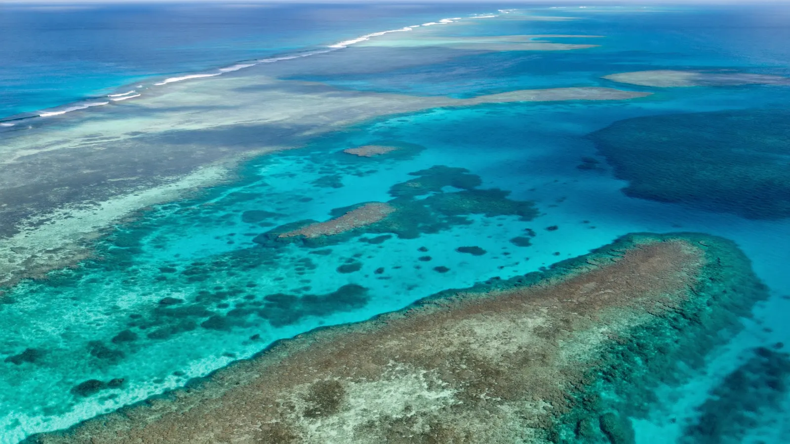
Main reef areas on the map
Folkestone, Carlisle Bay and the west-coast bank reefs are the heart of Barbados’ coral.
- Folkestone Marine Park (west coast, Holetown) — the island’s best-known marine protected area, with a near-shore fringing reef, an offshore section of bank reef and an inshore snorkel area. The wreck of the freighter Stavronikita, sunk deliberately as an artificial reef, lies off this coast and is one of the island’s most famous dives.
- Carlisle Bay (south-west, Bridgetown) — a sheltered bay with several shallow shipwrecks close together, now encrusted with coral and sponges and home to schools of fish and frequent sea turtles. It is part of a protected marine area and is popular with snorkellers and beginner divers.
- West-coast fringing and bank reefs — a near-continuous line of reef from Speightstown in the north to Bridgetown, with the fringing reef inshore and bank reefs further out.
- South-coast reefs — fringing and patch reefs off the beaches between Bridgetown and the south-east, somewhat more exposed to swell than the west coast.
- East coast — mostly rocky shore and surf; little living reef appears on the map here.
Reefs, beaches and life on Barbados
The reefs protect the island’s beaches and support its tourism and fisheries.
Tourism is one of the pillars of Barbados’ economy, and much of it is concentrated on the reef-sheltered west and south coasts. Fringing reefs break incoming waves before they reach the shore, which helps keep those beaches calm and protects them from erosion. Parrotfish and other reef organisms also grind dead coral into the fine white sand that the beaches are made of. Reef fish support local fisheries, and dive and snorkel operators depend directly on healthy coral.
Barbados also has a long history of reef science. The Bellairs Research Institute near Holetown, operated by McGill University, has hosted coral reef research on the west-coast reefs for decades.
Threats to Barbados’ coral reefs
Warming seas, disease, runoff and coastal pressure are the main concerns.
Like reefs across the Caribbean, Barbados’ reefs have been hit by marine heatwaves that cause coral bleaching, and by coral diseases that have reduced many important reef-building species region-wide. Because the island is densely populated and most development is on the reef coasts, land-based pollution — sewage, fertiliser and sediment carried by storm runoff — is a major local stress on the fringing reefs. Overfishing of herbivores allows seaweed to compete with coral, and coastal development and heavy use of popular sites add physical pressure. In recent years, large Sargassum seaweed influxes have also washed onto Barbados’ shores, and occasional hurricanes can damage shallow reefs.
Marine parks, turtle protection, water-quality improvements and reef monitoring are all part of the response. You can read more about Barbados’ reefs as an ecosystem on our Barbados coral reef guide, and about wider solutions on our coral reef conservation page.
Related on TheSea
- Bermuda Coral Reef Maps
- Saint Kitts & Nevis Coral Reef Maps
- Montserrat Coral Reef Maps
- Turks Caicos Coral Reef Maps
- British Virgin Islands (UK Virgin Islands) Coral Reef Maps
- Guadeloupe Coral Reef Maps
- US Virgin Islands Coral Reef Maps
- Bahamas Coral Reef
- Coral Reef Underwater Park Trail
- Roatan Coral Reef
- Caribbean Coral Reefs
- Coral Reef Maps
Where are the coral reefs in Barbados?
Along the sheltered west (Caribbean) and south coasts. Fringing and patch reefs lie close to shore, and deeper bank reefs run parallel to the west coast a little further out. The rough Atlantic east coast has little living reef.
Does Barbados have a barrier reef?
No. Barbados has fringing reefs, patch reefs and offshore bank reefs rather than a true barrier reef separated from the coast by a deep lagoon. The bank reefs off the west coast are sometimes described loosely as a barrier, but they are not a barrier reef in the scientific sense.
How much coral reef does Barbados have?
The UNEP-WCMC global reef dataset maps roughly 31 km² of reef around Barbados. That figure is reef extent, not the area of living coral, which varies over time.
Why is Barbados called a coral island?
Because most of the island is made of ancient coral limestone — old reefs lifted above sea level over hundreds of thousands of years. Unlike its volcanic neighbours, Barbados was largely built by coral.
Where is the best snorkelling on Barbados’ reefs?
The calm west coast is the usual choice, especially Folkestone Marine Park near Holetown and the shallow wrecks of Carlisle Bay near Bridgetown, where turtles and reef fish are common close to shore.
Are Barbados’ coral reefs healthy?
They have declined, like most Caribbean reefs, because of bleaching, disease, pollution and overfishing, and near-shore fringing reefs are generally in poorer condition than deeper bank reefs. Marine parks and conservation programmes aim to protect what remains.
- UNEP-WCMC, WorldFish Centre, WRI, TNC: Global distribution of warm-water coral reefs, v4.1 (2021)
- Government of Barbados, Coastal Zone Management Unit: coral reef monitoring and marine protected areas
- NOAA Coral Reef Information System: Caribbean coral reef ecology
Blane Perun has been exploring Earth’s oceans and marine life for over 25 years. Founder of TheSea.Org in 1999, underwater photographer, coral aquaculture pioneer, and explorer of 80+ countries.
About Blane Perun → More Caribbean Coral Reef Maps →