World’s Largest Oceans — All Five Oceans Ranked by Area and Volume
The Pacific is the world’s largest ocean, about 165 million km², bigger than all the land on Earth combined. Then come the Atlantic (~106 million km²), Indian (~70 million km²), Southern (~22 million km²) and Arctic (~15 million km²). Exact figures vary depending on whether marginal seas are included.
The Pacific Ocean, covering roughly 165 million km² (about 63.8 million square miles) including its marginal seas, about 46% of the world ocean’s area and about a third of Earth’s entire surface. It is also the deepest, with an average depth near 4,000 m, and holds roughly half of all the ocean’s water.
How do the five oceans rank by size?
Here are the five oceans ranked by area, with approximate volumes and depths. Figures differ between sources because ocean boundaries and marginal seas are defined differently.
| Rank | Ocean | Area (million km²) | Share of world ocean | Average depth |
|---|---|---|---|---|
| 1 | Pacific | ~155–168 | ~46% | ~4,000 m |
| 2 | Atlantic | ~85–106 | ~23–29% | ~3,300–3,650 m |
| 3 | Indian | ~70–75 | ~20% | ~3,700–3,900 m |
| 4 | Southern | ~20–22 | ~6% | ~3,300–4,500 m |
| 5 | Arctic | ~14–15.5 | ~4% | ~1,000–1,200 m |
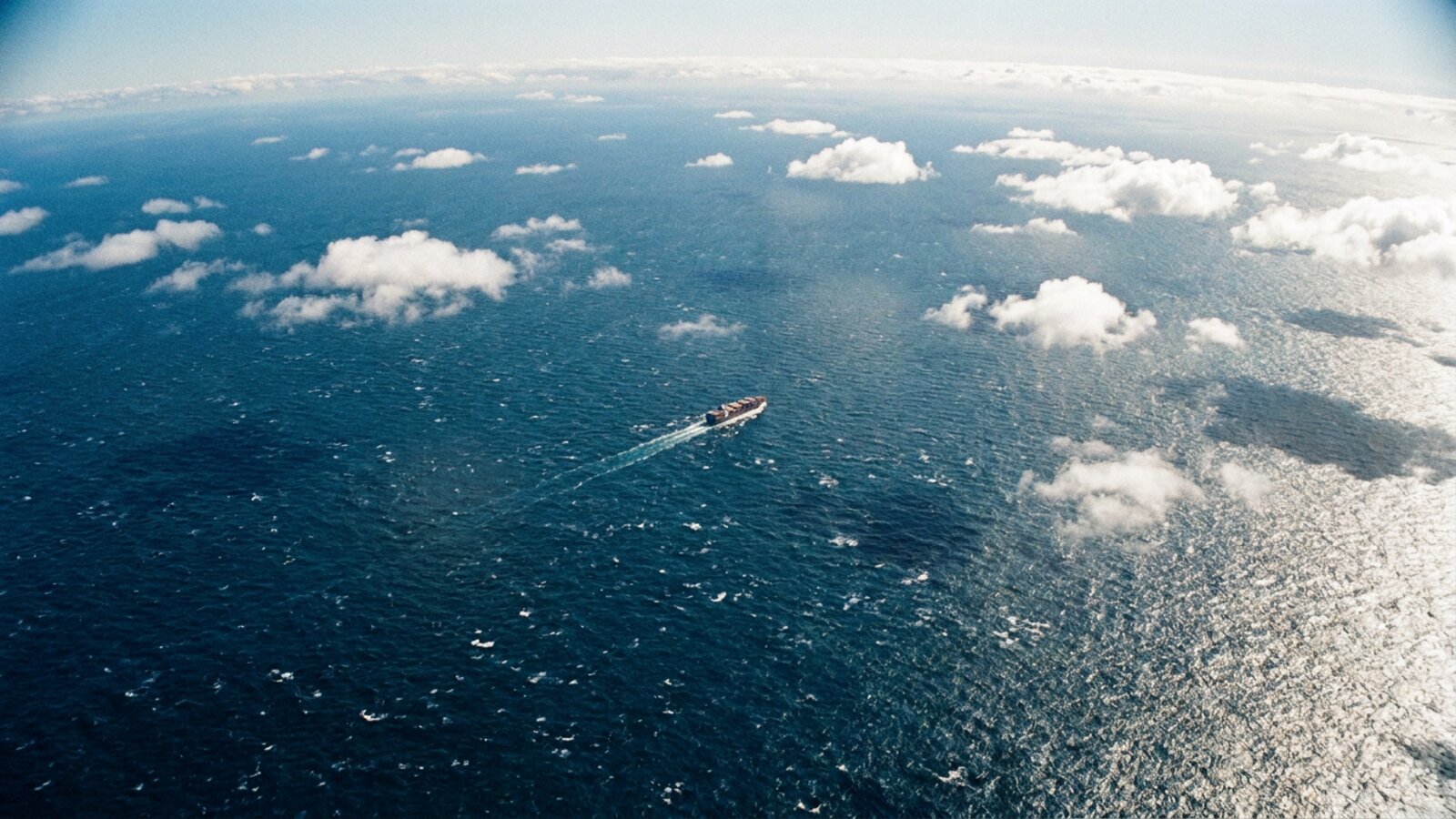
How big is the Pacific Ocean really?
Large enough to fit every continent inside it with room to spare.
The Pacific stretches about 15,500 km from the Bering Strait to Antarctica and nearly 20,000 km from Indonesia to Colombia at its widest. It holds roughly 700 million km³ of water, about half of the global ocean; see how many gallons are in the Pacific. Its basin is slowly shrinking as surrounding plates subduct, while the Atlantic grows; see Atlantic vs Pacific.
How many oceans are there: four or five?
Five. The Southern Ocean around Antarctica is now widely recognised as the fifth ocean.
The International Hydrographic Organization proposed the Southern Ocean in 2000, and National Geographic began mapping it as the fifth ocean in 2021. It is defined by the Antarctic Circumpolar Current, which flows unbroken around the continent and separates its cold water from the oceans to the north. See why the Southern Ocean was added. All five oceans are connected, which is why oceanographers also speak of a single “world ocean”.
Which ocean holds the most water?
The Pacific again, by a wide margin: roughly half of all seawater on Earth.
Volume depends on both area and depth. Using NOAA’s ETOPO1-based estimates, the Pacific holds about 50% of the world ocean’s volume, the Atlantic about 23%, the Indian about 20%, the Southern about 5% and the shallow Arctic only about 1%. The Arctic is not just the smallest ocean but by far the shallowest, with broad continental shelves under much of it. That shallow, ice-covered character is why it is warming and changing faster than any other ocean; see ocean warming. The total ocean holds about 1.335 billion km³, roughly 97% of all water on Earth.
What is the difference between an ocean and a sea?
Oceans are the five great basins; seas are smaller, usually partly enclosed by land and often part of an ocean.
The Caribbean, Mediterranean and Bering seas are all marginal seas of larger oceans. Including or excluding them is the main reason ocean areas differ between sources. See oceans and seas. The Philippine Sea, at about 5 million km², is often cited as the largest sea, followed by the Coral Sea and the Arabian Sea.
Who decides where one ocean ends and the next begins?
There is no line painted on the sea, so ocean boundaries are a matter of agreement. The body that sets them for navigation is the International Hydrographic Organization, which publishes a reference called Limits of Oceans and Seas. Its first edition, in 1928, included a Southern Ocean bounded by land: Antarctica to the south and the southern capes of South America, Africa, Australia and New Zealand to the north. The second edition, in 1937, pulled the northern limit south to 40 or 55 degrees, depending on the sector.
The third edition, in 1953, dropped the Southern Ocean altogether, because its northern edge was too hard to lay down when the boundary of Antarctic water shifts with the seasons. The Atlantic, Indian and Pacific were simply extended south to Antarctica. That 1953 edition is still the last one formally in force. A draft fourth edition was circulated in 2002, adding or renaming about 60 seas, but disputes over names in several parts of the world have kept it from being published.
In 2000 the IHO surveyed its 68 member states about restoring the Southern Ocean. Of the 28 that replied, every one except Argentina agreed. The name Southern Ocean won 18 votes, beating Antarctic Ocean, and half the votes favoured a northern limit at 60 degrees south, a latitude that does not cross any land. Australia lodged a reservation about the proposed limits in 2003. The National Geographic Society, whose maps shape what many people learn at school, formally recognised the Southern Ocean in June 2021.
Why the area and volume figures never quite match
The range in the table above is not sloppiness. It comes from two choices. The first is whether marginal seas such as the Caribbean, the Mediterranean or the South China Sea count as part of their parent ocean. The second is whether a Southern Ocean is carved off, which removes the southern parts of the Pacific, Atlantic and Indian oceans. Some oceanographers go further and treat the Arctic as a nearly enclosed arm of the Atlantic, sometimes called the Arctic Mediterranean, because its main deep connection is to the Atlantic across the Greenland-Scotland Ridge.
Volume figures vary for a different reason: they depend on the depth data used. The NOAA estimate cited on this page, built from the ETOPO1 global relief model, gives about 1.335 billion cubic kilometres. Other widely quoted figures run up to about 1.37 billion. By one common breakdown, the Pacific holds 50.1% of the ocean’s water, the Atlantic 23.3%, the Indian 19.8%, the Southern 5.4% and the Arctic only 1.4%. The ocean as a whole covers about 361 million square kilometres, roughly 71% of Earth’s surface, and holds about 97% of Earth’s water.
How the oceans got their names
The Atlantic has the oldest name. The poet Stesichorus referred to an Atlantic sea in the mid-sixth century BC, and Herodotus, around 450 BC, wrote of the Atlantis thalassa, the Sea of Atlas, meaning the water beyond the Pillars of Heracles at the mouth of the Mediterranean. The Pacific was named much later and almost by accident. In 1513 the Spanish explorer Vasco Núñez de Balboa crossed the Isthmus of Panama and saw a great sea to the south of the coast where he stood, so he called it Mar del Sur, the South Sea.
In 1520 Ferdinand Magellan’s Spanish expedition became the first in recorded history to cross it. After the storms around the tip of South America, the ocean seemed calm, and Magellan called it Pacífico, the peaceful sea. For a long time it was also called the Sea of Magellan. The name stuck even though the Pacific is anything but peaceful: it is ringed by volcanoes and earthquake zones and swept by tropical storms.
Maps took time to catch up. The Waldseemüller map of 1507 was the first to show the Americas separating two distinct oceans. The Diogo Ribeiro map of 1529 was the first to show the Pacific at roughly its true size, and Abraham Ortelius’s 1589 map, labelled Maris Pacifici, was one of the first printed maps devoted to it. The Southern Ocean appears in legal language much earlier than on modern maps: the British act that created the colony of South Australia in 1834 described its southern boundary as the Southern Ocean.
The phrase “the seven seas”
Long before anyone counted five oceans, sailors talked about seven seas, and the list depended on who was talking. In ancient Greece the seven were usually given as the Adriatic, Aegean, Black, Caspian and Mediterranean seas, the Persian Gulf and the Red Sea. Medieval Arab geographers used the phrase for the sea route to China: the Persian Gulf, the Arabian Sea, the Bay of Bengal, the Strait of Malacca, the Singapore Strait, the Gulf of Thailand and the South China Sea. The phrase survives because it means something like “every sea that matters”, not a fixed number.
Just how big is the Pacific?
The Pacific’s numbers are hard to picture. Measured to the edge of the Southern Ocean at 60 degrees south, it runs about 15,500 km from the Bering Sea. Its greatest east-west width is near 5 degrees north, where it stretches about 19,800 km from Indonesia to the coast of Colombia, nearly half way around the planet and more than five times the diameter of the Moon. Its area is larger than all the land on Earth combined. More than 25,000 islands rise above its surface, many of them the tops of old volcanoes or coral atolls, and its geographic centre lies in eastern Kiribati, south of Kiritimati.
The Pacific also contains the most remote point in any ocean. Point Nemo, at about 48 degrees 53 minutes south and 123 degrees 24 minutes west, is the place farthest from any land: about 2,688 km from each of the three nearest specks of land, which are Ducie Island in the Pitcairn group, Motu Nui off Easter Island and Maher Island off Antarctica. It was first calculated in 1992 by the Croatian survey engineer Hrvoje Lukatela, who named it after Captain Nemo from Jules Verne’s novel, and he re-checked the position in 2022 with newer map data. It is so isolated that the nearest humans are often the astronauts on the International Space Station passing overhead. For the same reason, space agencies use the surrounding area as a spacecraft cemetery, steering hundreds of old satellites and stations to fall there, and the ISS itself is planned to come down there in 2031.
A related idea is the water hemisphere: the half of the globe that contains the most ocean. One calculation puts its centre near New Zealand’s Bounty Islands in the South Pacific. The opposite half, the land hemisphere, is centred near Nantes in western France.
What makes each ocean different, beyond size
Size is only one way to compare oceans. The Atlantic is the saltiest of the major oceans. Its open-ocean surface salinity ranges from about 33 to 37 parts per thousand, highest around 25 degrees north and south, where evaporation outpaces rainfall. That high salinity is what lets North Atlantic surface water become dense enough to sink, feeding the deep circulation of the whole ocean. The Atlantic basin is a long S-shape, and its floor is split down the middle by the Mid-Atlantic Ridge, which runs from about 300 km south of the North Pole to Bouvet Island at 54 degrees south.
The Pacific’s surface salinity varies widely. It reaches about 37 parts per thousand in the south-east, falls to about 34 near the equator because of heavy rain, and drops below 32 in the far north. Its edges are lined with trenches and volcanoes, the Ring of Fire, where old seafloor sinks back into the mantle. That is why it contains the deepest water on Earth.
The Arctic, the smallest ocean at about 14 million square kilometres, is mostly wide continental shelf around a deep central basin. The Lomonosov Ridge, which appears to be a sliver of continental crust, divides that basin in two: the Eurasian Basin, 4,000 to 4,500 m deep, and the Amerasian Basin, about 4,000 m deep. Its Russian shelf is the largest continental shelf in the ocean. Its connection to the Pacific is the narrow, shallow Bering Strait, while its link to the Atlantic runs over the Greenland-Scotland Ridge. The Greek explorer Pytheas, sailing north around 325 BC, described a land he called Thule where the sea was replaced by a congealed substance one of the earliest written accounts of the far northern sea.
Which seas are the largest?
Seas are ranked the same way as oceans, and the same boundary problems apply. The Philippine Sea, a marginal sea of the western Pacific east of the Philippines, is usually listed as the largest, with estimates of about 5 to 5.7 million square kilometres. The Coral Sea and the Arabian Sea follow. The Philippine Sea lies on its own tectonic plate, the Philippine Sea Plate, and the Philippines on its western edge lie within the Coral Triangle, considered the global centre of marine biodiversity.
The oddest sea of all has no shore. The Sargasso Sea in the North Atlantic is defined not by land but by four currents that circle it, and it is the only sea with no land boundaries. Its floating Sargassum seaweed and calm water made it notorious among sailors. Christopher Columbus wrote the first known account of it in 1492, worried that the weed might trap his ships or hide shallows. In fact the seaweed rarely troubles ships; the calms of the horse latitudes were the real problem for sailing vessels. It shows that the line between an ocean and a sea, like the line between one ocean and the next, is ultimately a human choice.
What is the largest ocean in the world?
The Pacific Ocean, at roughly 165 million km².
What is the smallest ocean?
The Arctic Ocean, at roughly 14–15.5 million km².
What is the second largest ocean?
The Atlantic Ocean.
How many oceans are there?
Five: Pacific, Atlantic, Indian, Southern and Arctic.
Is the Pacific bigger than all the land on Earth?
Yes. Earth’s land area is about 149 million km², less than the Pacific.
What percentage of Earth is ocean?
About 71% of Earth’s surface.
- NOAA: How many oceans are there?
- CIA World Factbook: ocean areas.
- Eakins, B. W. & Sharman, G. F. (2010). Volumes of the World’s Oceans from ETOPO1. NOAA National Geophysical Data Center.
- International Hydrographic Organization (1953). Limits of Oceans and Seas, Special Publication S-23, 3rd edition (2002 draft 4th edition unpublished).
- National Geographic Society (2021). Recognition of the Southern Ocean as the world’s fifth ocean.
- Lukatela, H. Point Nemo: oceanic pole of inaccessibility calculations (1992; revised 2022).
Blane Perun has been exploring Earth’s oceans and marine life for over 25 years. Founder of TheSea.Org in 1999, underwater photographer, coral aquaculture pioneer, and explorer of 80+ countries.
