Ecuador Coral Reef Maps — Galápagos Coral at the Edge of the Tropics
Most of Ecuador’s coral lies in the Galápagos Islands, roughly 1,000 km off the mainland, where it is best developed around the remote northern islands of Darwin and Wolf. Elsewhere in the archipelago, coral grows as scattered coral communities on volcanic rock rather than large reefs. On the mainland, small coral communities occur in Machalilla National Park and around Isla de la Plata. Cool currents, upwelling and El Niño heat events keep coral limited, and UNEP-WCMC maps only about 125 km² of reef in Ecuadorian waters. The map below shows where it is.
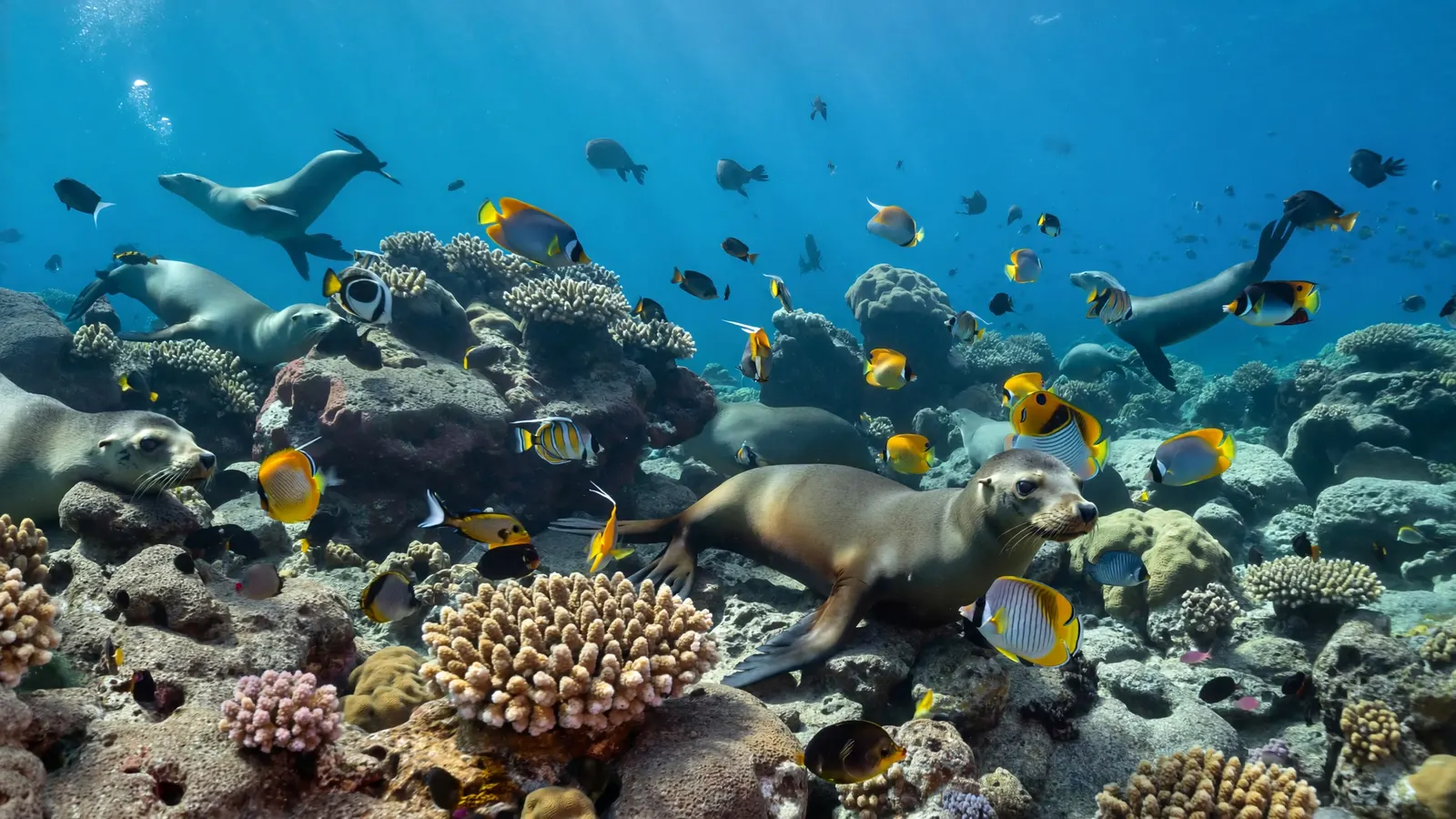
Ecuador is not usually thought of as a coral reef country, and in terms of reef area it is not. Yet its coral lives in one of the most famous marine ecosystems on Earth. In the Galápagos, corals share the water with penguins, sea lions, marine iguanas and schools of hammerhead sharks. These are corals living at the very edge of what they can tolerate, and their story is one of the earliest and clearest warnings of what ocean warming can do to reefs.
Ecuador coral reef map
Patches of coral in the Galápagos to the west, and a thin scatter on the mainland coast to the east.
On the map, the largest patches of coral sit in the Galápagos, with the most notable areas in the far north around Darwin and Wolf islands. Smaller patches appear around the central and southern islands. Along the mainland, coral shading is limited to a few spots on the central coast in Manabí province, around Machalilla and Isla de la Plata.
The coral outlines come from the UNEP-WCMC global reef dataset. Because Ecuador’s coral mostly grows as thin communities on rock rather than thick reef frameworks, it is hard to map from satellites, and the dataset shows only modest extent. Coral shading marks where coral habitat has been mapped, not how healthy it is.

Why Ecuador has coral communities, not big reefs
Cool currents, upwelling and El Niño make the eastern Pacific a hard place for coral.
The Galápagos sit where several ocean currents meet. The cool Humboldt Current flows up from the south, the deep Equatorial Undercurrent (Cromwell Current) wells up cold, nutrient-rich water against the western islands, and warmer water arrives from the north-east. The result is a patchwork of water temperatures, with the coolest water in the west and south and the warmest in the north.
That cold, productive water is why the Galápagos are so rich in fish, seabirds and marine mammals — but it is not ideal for reef-building corals, which prefer warm, clear, nutrient-poor water. Corals therefore grow best in the warmer north, and elsewhere tend to form scattered colonies and small patches rather than the thick, wave-resistant frameworks seen in the Caribbean or Indo-Pacific. Eastern Pacific coral communities are also relatively low in species compared with the western Pacific, dominated by hardy genera such as Pocillopora, Porites and Pavona. More on the conditions corals need is in what environment coral reefs form in.
Ecuador’s main coral areas
Darwin and Wolf hold the best coral; the mainland has a few small, protected sites.
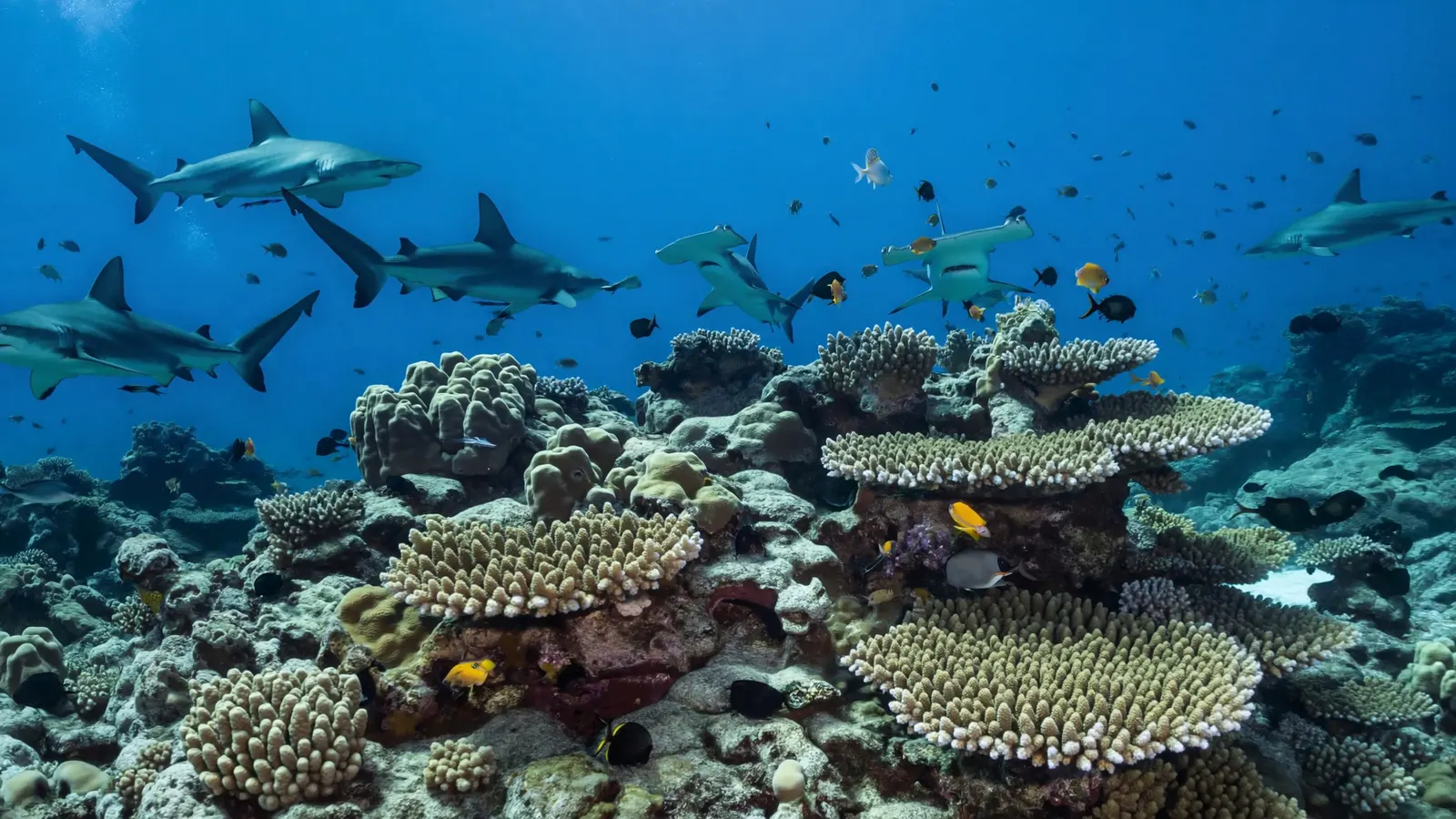
- Darwin and Wolf (far northern Galápagos) — the warmest water and best-developed coral in the archipelago, including Wellington Reef at Darwin. These islands are world-famous dive sites for schools of scalloped hammerheads, Galápagos sharks and seasonal whale sharks. Darwin’s Arch, a famous rock arch, collapsed in 2021.
- Central and southern Galápagos — scattered coral communities around islands such as Santa Cruz, Floreana, Española and Santiago, generally sparser in cooler water.
- Isla de la Plata — an island off the mainland coast, sometimes called the “poor man’s Galápagos”, with coral patches, seabird colonies and humpback whales in season.
- Machalilla National Park (mainland) — Ecuador’s main protected coastal area with coral communities on its rocky reefs.
The shadow of El Niño
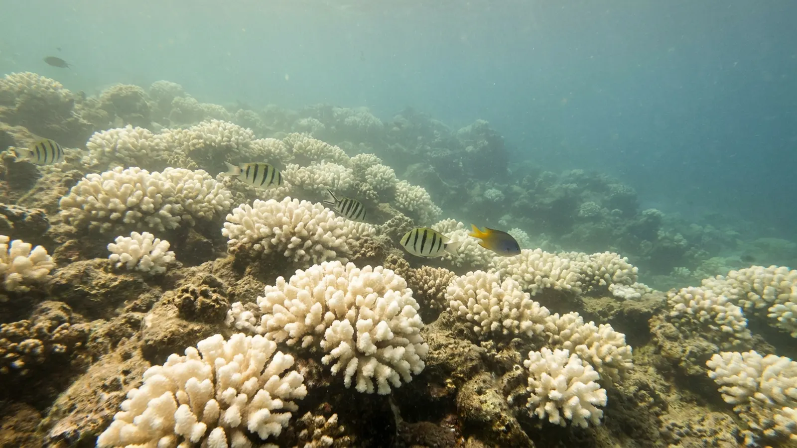
A single warm event in 1982–83 wiped out most of the Galápagos’ coral.
El Niño is a natural climate pattern in which warm water spreads across the eastern Pacific, raising sea temperatures off South America for months. During the extreme El Niño of 1982–83, sea temperatures around the Galápagos stayed far above normal for a prolonged period. Corals bleached and died on a massive scale: studies led by Peter Glynn and colleagues documented the loss of the great majority of Galápagos coral, with some reefs that had taken centuries to build almost entirely destroyed. Bioeroding sea urchins then broke down much of the dead framework.
It was one of the most severe coral die-offs ever recorded and, at the time, one of the first clear signs that ocean heat could devastate reefs on a large scale. Another strong El Niño in 1997–98 caused further losses. Recovery has been slow and patchy. The northern islands have fared best and now act as a refuge from which corals might recolonise the rest of the archipelago. See coral reef bleaching for how heat kills coral.
Protection and pressures today
Strong marine reserves protect the Galápagos, but warming remains the overriding threat.
The Galápagos Marine Reserve, established in 1998, is one of the largest marine protected areas in the world, and in 2022 Ecuador created the Hermandad Marine Reserve, extending protection toward Costa Rica’s Cocos Island along a migration route used by sharks and turtles. On the mainland, Machalilla National Park protects coastal habitats.
The main threat to Ecuador’s coral is ocean warming, especially strong El Niño events, which climate change may make more damaging. Other pressures include illegal and industrial fishing around the reserves, tourism impacts at popular dive sites, invasive species in the Galápagos and coastal development and runoff on the mainland. Our coral reef conservation pages explore the wider picture.
Related on TheSea
Does Ecuador have coral reefs?
Ecuador has coral, but mostly as coral communities growing on rock rather than large reefs. The best-developed coral is in the northern Galápagos around Darwin and Wolf, with small coral areas on the mainland at Machalilla and Isla de la Plata.
Are there coral reefs in the Galápagos?
Yes, but they are limited. Before 1982–83 there were several true coral reefs; the El Niño of that year killed most of them. Today coral is best developed at Darwin and Wolf, and scattered elsewhere.
How much coral reef does Ecuador have?
The UNEP-WCMC global dataset maps about 125 km² of reef in Ecuadorian waters, mainly in the Galápagos.
How did El Niño affect Galápagos coral?
The 1982–83 El Niño brought prolonged high sea temperatures that killed the great majority of Galápagos coral. The 1997–98 event caused further damage, and recovery has been slow.
Can you snorkel on coral in Ecuador?
Yes. Snorkelling around Isla de la Plata and parts of the Galápagos reveals coral patches alongside abundant fish, turtles and sea lions, although the coral is far less extensive than in the Caribbean.
Where is the best diving in the Galápagos?
Darwin and Wolf islands in the far north, reached by liveaboard boats, are famous for hammerhead schools, Galápagos sharks and seasonal whale sharks, and hold the archipelago’s best coral.
- UNEP-WCMC, WorldFish Centre, WRI, TNC: Global distribution of warm-water coral reefs, v4.1 (2021)
- Glynn, P. W. and colleagues: studies of El Niño coral mortality in the Galápagos and eastern Pacific
- Charles Darwin Foundation and Galápagos National Park Directorate: marine reserve monitoring
Blane Perun has been exploring Earth’s oceans and marine life for over 25 years. Founder of TheSea.Org in 1999, underwater photographer, coral aquaculture pioneer, and explorer of 80+ countries.
About Blane Perun → More Americas Coral Reef Maps →