What Causes Ocean Tides? — The Moon Pulls, the Earth Turns
Tides are caused mainly by the Moon’s gravity, with the Sun adding a smaller pull (about 46% as strong). These forces stretch the ocean into two bulges, one facing the Moon and one on the opposite side, and as Earth rotates, coasts pass through them. Most places get two high and two low tides every 24 hours 50 minutes.
Tides result from the difference in the Moon’s gravitational pull across Earth. The side facing the Moon is pulled a little more than Earth’s centre, and the far side a little less, so the ocean bulges outward on both sides. Earth rotates through these bulges once a day, while the Moon advances in its orbit, so the tidal cycle repeats every 24 hours and about 50 minutes. The Sun creates its own, weaker bulges, which either reinforce or partly cancel the Moon’s.
Why are there two high tides a day?
Because there are two tidal bulges: one under the Moon and one on the opposite side of Earth.
On the near side, the Moon’s stronger pull draws water toward it. On the far side, the Moon pulls Earth’s centre more strongly than the water there, effectively leaving that water behind as a second bulge. As Earth spins, a given coast passes through both bulges each tidal day, giving two highs and two lows. Because the Moon moves along its orbit in the same direction Earth spins, Earth must turn an extra 50 minutes or so to catch up, which is why high tide arrives about 50 minutes later each day.
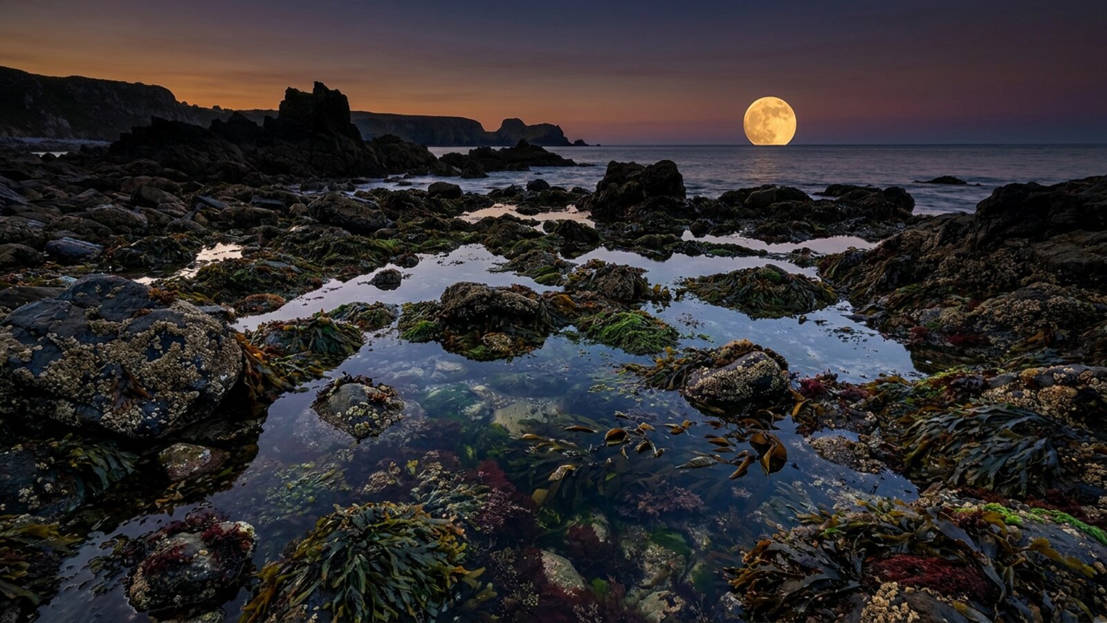
What are spring and neap tides?
Spring tides are extra-large tides at new and full moon; neap tides are smaller tides at the quarter moons.
When the Sun, Moon and Earth line up (new moon and full moon), their tidal bulges add together, producing higher highs and lower lows: spring tides, named for the water “springing up”, not the season. When the Sun and Moon are at right angles (first and last quarter), their effects partly cancel, giving neap tides with the smallest range. Tides are also larger when the Moon is closest to Earth (perigee); a spring tide at perigee is sometimes called a king tide.
| Tide | When | Range |
|---|---|---|
| Spring tide | New and full moon | Largest |
| Neap tide | First and last quarter moon | Smallest |
| Perigean (king) tide | Spring tide near lunar perigee | Extra large |
Why do some places have one tide a day?
Coastline shape, basin size and depth change how the tidal wave behaves, producing three main tide patterns.
Real tides do not behave like simple bulges because continents get in the way. The tide travels around ocean basins as huge, slow waves that rotate around points of no tide, called amphidromic points. Local geography then amplifies, dampens or reshapes them.
| Pattern | Highs and lows per day | Examples |
|---|---|---|
| Semidiurnal | Two roughly equal highs and lows | US Atlantic coast, much of Europe |
| Mixed | Two highs and lows of unequal height | US Pacific coast, Caribbean |
| Diurnal | One high and one low | Parts of the Gulf of Mexico, Southeast Asia |
Where are the biggest tides in the world?
Canada’s Bay of Fundy holds the record, with tidal ranges up to about 16 m.
Fundy’s length and shape make the water slosh back and forth in near-resonance with the tidal period, amplifying the range. Other huge tides occur in Ungava Bay (Canada), the Bristol Channel (UK), the Gulf of Saint-Malo (France) and King Sound (Australia). See the highest tides in the world. In contrast, the Mediterranean and other enclosed seas have tides of only a few centimetres to tens of centimetres.
How do tides affect marine life?
Tides create the intertidal zone, one of the most demanding habitats on Earth, and drive the timing of feeding and spawning for many species.
Barnacles, mussels and limpets must survive exposure to air twice a day. Grunion spawn on Californian beaches on spring-tide nights; horseshoe crabs time spawning to high spring tides. Many corals spawn in sync with lunar cycles. Tidal currents also stir nutrients in shallow seas and create the fast drift dives many divers love.
Who worked out what causes the tides?
People who lived on tidal coasts noticed the link with the Moon long before anyone could explain it. The Greek explorer Pytheas sailed to the British Isles around 325 BC and seems to have been the first writer to tie spring tides to the phase of the Moon. Around 150 BC the astronomer Seleucus of Seleucia argued that the Moon caused the tides, and he noted that their timing and strength varied from one coast to another. Mediterranean writers had little to go on, because their own sea barely rises and falls, which is one reason the strong currents in the Strait of Messina and the Euripus puzzled Aristotle.
In northern England the monk Bede, writing in 725, recorded that high water arrives about four-fifths of an hour later each day, just as the Moon rises later each day, and that tides along the Northumbrian coast came earlier to the north of his monastery and later to the south. He also noted that wind could hold a tide back. Johannes Kepler suggested in 1609 that the Moon’s attraction was responsible. Galileo, in his 1632 Dialogue, rejected that idea and argued that tides were water sloshing as Earth moved around the Sun. He was wrong, and the episode is a useful reminder that clever people can build a confident theory on a mistaken mechanism.
Isaac Newton settled the cause in the Principia of 1687. His law of gravitation explained why there are generally two tides a day rather than one, and why the Sun adds a smaller effect to the Moon’s. In 1740 the French Académie Royale des Sciences offered a prize for the best essay on tides. Daniel Bernoulli, Leonhard Euler, Colin Maclaurin and Antoine Cavalleri shared it. Euler made the important point that it is the horizontal part of the tidal force, not the vertical lift, that actually pushes water around. Pierre-Simon Laplace then wrote the equations linking the ocean’s horizontal flow to its surface height. Versions of the Laplace tidal equations are still used in tide models today.
Why the simple two-bulge picture is only a starting point
Newton’s approach is now called the equilibrium tide: the shape the ocean would take if it covered a smooth Earth to a uniform depth and could respond instantly. Worked out that way, the Moon raises a bulge of about 54 cm and the Sun one of about 25 cm. At spring tide these add to about 79 cm; at neap tide the theoretical range drops to about 29 cm. If the Moon and Sun were both at their closest and aligned, the figure would reach about 93 cm. Those numbers match the open-ocean tides quoted above, which are often under a metre, but they cannot explain a 16 m range in a Canadian bay.
The real ocean cannot keep up with the Moon. The tide behaves as a very long, shallow-water wave, and the speed of such a wave depends on water depth. In ocean about 4,000 m deep it travels at roughly 200 m per second, or about 700 km/h. That is fast, but at the equator the ground under the Moon moves at about 1,670 km/h as Earth turns, so the bulge cannot stay beneath the Moon. Continents also block its path. The result is that the tide is a set of waves moving around each basin, and the time of high water at a port bears no fixed relationship to when the Moon is overhead. At Norfolk, Virginia, for example, high tide reliably comes about two and a half hours before the Moon crosses the sky’s meridian. The delay between a given lunar alignment and its tide is called the age of the tide. In the North Sea, spring and neap tides arrive about two days after the new, full and quarter moons that cause them.
Amphidromic points: places with no tide
In 1836 the English scientist William Whewell drew a nearly global chart of co-tidal lines, the lines joining places that have high water at the same time. To make his map consistent, he predicted that somewhere in the middle of the sea there must be a point where those lines meet and the water does not rise or fall at all. In 1840 a Royal Navy captain, William Hewett, confirmed one by careful soundings in the North Sea. These are now called amphidromic points.
Around each one, the high-water crest swings like the hand of a clock, completing a circuit about every 12 hours and 25 minutes for the main lunar tide. Earth’s rotation steers the wave so that it usually turns anticlockwise in the Northern Hemisphere and clockwise in the Southern Hemisphere. Tidal range is near zero at the centre and grows with distance from it, which is why coasts far from an amphidrome tend to have the biggest tides, while some coasts near one, such as parts of southern Australia, have small ones. In the North Atlantic the crest sweeps past New York Harbor about an hour before it reaches Norfolk. There are rare exceptions where the tide circles an island rather than a point at sea, as it does around New Zealand, Iceland and Madagascar.
The same physics explains why enclosed seas have such small tides. The natural sloshing periods of the Mediterranean and the Baltic do not match any strong astronomical rhythm, so their tides stay small and are largest only near the narrow straits that connect them to the Atlantic. The Gulf of Mexico and the Sea of Japan have small tides for the same reason.
How tide tables are made
A tide table is not worked out from the Moon’s position on the day. It is built by breaking a long record of measured water levels into a set of regular waves, each tied to an astronomical cycle, and then running those waves forward. The method is called harmonic analysis. The largest component almost everywhere is the principal lunar semidiurnal tide, labelled M2, with a period of 12.42 hours. Next come the solar semidiurnal S2 at exactly 12 hours and the diurnal constituents K1 and O1 at about 23.9 and 25.8 hours. Because M2 and S2 have slightly different periods, they drift in and out of step every 14 days or so, and that drift is the spring-neap cycle.
William Thomson, later Lord Kelvin, led the first systematic harmonic analysis of tide records from 1867. Working out a year of predictions by hand was slow, so in 1872 and 1873 Thomson and his collaborators built a tide-predicting machine. A chain ran over and under a row of pulleys, each pulley cranked up and down at the rate of one constituent, and the free end of the chain drew the summed tidal curve with a pen. In the United States William Ferrel designed a different machine in 1881 and 1882. Its successor, US Tide Predicting Machine No. 2, nicknamed Old Brass Brains, entered service at the Coast and Geodetic Survey in 1912 and was retired in 1965. During the Second World War the machine and its predictions were classified.
George Darwin, son of Charles Darwin, extended Thomson’s work, and his symbols for the constituents are still used. In 1921 Arthur Doodson of Liverpool published a modern expansion of the tide-generating force that identified 388 separate tidal frequencies. Today’s official tide datums in the United States are based on a 19-year averaging period, chosen because it covers the 18.6-year cycle in the tilt of the Moon’s orbit.
The tide forecast behind D-Day
The most famous tide prediction in history was made for the Normandy landings. Allied planners wanted to land shortly after low tide at first light, so that the German beach obstacles would be exposed. Doodson, by then running the Liverpool Observatory and Tidal Institute, was asked to calculate the tides for the invasion beaches with the institute’s machines. His work showed that 5 to 7 June 1944 offered the right combination of moon and tide, and the landings took place on 6 June. By 1943 the institute’s tidal-analysis staff had been reduced to Doodson and six young women, who also took turns on night fire watch on the observatory roof.
Strange local tides and tidal bores
Shallow water distorts the tide in ways that the basic theory does not show. As the tide wave enters shallow water, it generates overtides at multiples of the main frequency. Southampton in England has a famous double high water caused by the interaction of M2 with its shallow-water overtide M4. Portland, further west along the same coast, has a double low water for the same reason.
Where a big tidal range is funnelled into a narrowing, shallow river, the flood tide can arrive as a single wall of water called a tidal bore. Bores generally need a range of more than about 6 m, and they only form on the rising tide, never on the ebb. The largest is on China’s Qiantang River, where the bore can stand up to 9 m high and travel at up to 40 km/h. Despite warning signs, people are killed by it most years. Indonesia’s Kampar River bore, called the Bono, usually runs up to about 40 km inland and has been reported as far as 130 km. Bores also roar: much of the low-frequency rumble comes from air bubbles trapped in the breaking front, and it carries a long way. The churning water mixes and aerates estuaries, which is one reason some bore rivers are productive spawning grounds for fish and shrimp.
The ground and the deep ocean have tides too
The solid Earth flexes under the same forces. For the main lunar constituent, the land surface rises and falls by roughly 38 cm, and the solar constituent adds about 18 cm. No one notices, because everything nearby rises with the ground, but the motion must be corrected for in precise surveying and in geophysical measurements.
Inside the ocean there are also internal tides. When the surface tide pushes water over steep underwater ridges, it sets up waves along the boundary between warm surface water and cold deep water. Because the density difference between those layers is small, these waves can move water up and down by much more than the surface tide does. The largest are generated at features such as the Hawaiian Ridge, Tahiti, the Macquarie Ridge and the ridges of the Luzon Strait. At Hawaii, the longest internal tides have wavelengths of about 150 km, and about 85% of their energy is thought to radiate away into the open ocean, with only about 15% lost within about 50 km of the ridge. Where they finally break, they mix deep water upward. Without that mixing the deep ocean would be a cold, stagnant pool beneath a thin warm layer, so the Moon’s pull, routed through internal tides, helps drive the slow overturning of the whole ocean.
Tides are slowing Earth’s spin
Moving that much water costs energy. Earth’s tides dissipate energy at about 3.75 terawatts, and roughly 98% of that loss happens in the ocean rather than in the rocks. The friction drags the tidal bulge slightly ahead of the Moon, and the bulge in turn tugs the Moon forward. Angular momentum passes from Earth’s spin to the Moon’s orbit. Lunar laser ranging, which bounces lasers off reflectors left on the Moon, measures the Moon moving away at about 3.8 cm a year. Most of the lost energy becomes heat; only about a thirtieth goes into the Moon’s orbit.
The day is lengthening as a result. Astronomers have tested this with records of ancient solar eclipses: if Earth had always spun at today’s rate, eclipses recorded by ancient and medieval observers would have been seen from the wrong places. A 2021 update of an analysis covering 720 BC to AD 2015 found that the observed slowing is real but smaller than tidal friction alone predicts, which points to other processes, such as the slow rebound of land since the ice ages, partly speeding Earth up.
Rocks record the long-term trend. Some tidal estuaries lay down thin layers of sand and silt whose thickness rises and falls with daily, fortnightly and yearly tidal cycles. A review of such tidal rhythmites in South Australia, dated to about 620 million years ago, worked out that a year then held about 400 days, each about 21.9 hours long. The Moon’s average rate of retreat since then works out at about 2.2 cm a year, little more than half today’s rate. The current fast rate may reflect the present shape of the ocean basins, which happen to resonate fairly closely with the tidal period.
The 18.6-year lunar cycle and coastal flooding
The plane of the Moon’s orbit is tilted and slowly wobbles, completing a cycle every 18.6 years. During half of that cycle the daily tides are slightly suppressed, and during the other half they are slightly amplified. On its own the effect is small. Combined with rising seas, it matters. A 2021 study in Nature Climate Change led by Phil Thompson of the University of Hawaii analysed 89 tide gauges in every coastal US state and territory except Alaska. It projected a decade of sharp increases in high-tide flooding once the next amplifying phase arrives in the mid-2030s, with some places flooding often enough to disrupt daily life.
Rising sea level is the main driver. A 2023 analysis found that relative sea-level rise explained more than 84% of the long-term increase in high-tide flooding days at US gauges, with sinking land dominant in the Northeast. It also found that recent rapid sea-level rise in the Gulf of Mexico had raised the frequency of high-tide flooding events there by 220% over the previous decade.
Can we run power stations on the tide?
Because tides are predictable decades ahead, they are an attractive source of electricity. The world’s first large tidal power station opened on the Rance estuary in Brittany, France, in 1966. Its 24 turbines can deliver a peak of 240 MW but average about 57 MW, and it produces roughly 500 GWh a year, about 0.12% of France’s electricity demand. It took almost 20 years to pay for itself. In 2011 South Korea’s Sihwa Lake station overtook it with 254 MW from ten turbines. It was built into a 1994 seawall whose enclosed lake had become badly polluted, and it generates only on the incoming tide, letting seawater flush the lake on every flood.
Barrages have drawbacks. They change the flushing of an estuary, can alter tidal flats that wading birds depend on, and can block migrating fish. In 2004 a humpback whale swam through the open sluice gate of the Annapolis Royal station in Nova Scotia and was trapped for several days before finding its way out. A proposed 320 MW tidal lagoon at Swansea in Wales was given planning permission in 2015 but rejected by the UK government in 2018. Much current effort goes into turbines placed in strong tidal currents instead, tested at sites such as the European Marine Energy Centre in Orkney, where spring-tide currents reach about 4 m per second.
What causes tides in the ocean?
Mainly the Moon’s gravity, with a smaller contribution from the Sun, acting on a rotating Earth.
Why are there two high tides a day?
There are two tidal bulges, one facing the Moon and one on the opposite side, and Earth rotates through both.
What is a spring tide?
An extra-large tide at new or full moon when the Sun and Moon line up.
What is a neap tide?
A smaller-than-average tide at the quarter moons when the Sun and Moon pull at right angles.
Where are the highest tides in the world?
The Bay of Fundy in Canada, with ranges up to about 16 m.
How long between high tides?
About 12 hours 25 minutes in most places.
Does the Sun affect tides?
Yes, with about 46% of the Moon’s tidal effect.
- NOAA Ocean Service: Tides and water levels tutorial.
- Pugh, D. & Woodworth, P. (2014). Sea-Level Science. Cambridge University Press.
- Fisheries and Oceans Canada: Bay of Fundy tides.
- Morrison, L.V., Stephenson, F.R., Hohenkerk, C.Y. & Zawilski, M. (2021). Addendum 2020 to Measurement of the Earth’s rotation: 720 BC to AD 2015. Proc. R. Soc. A 477: 20200776.
- Williams, G.E. (2000). Geological constraints on the Precambrian history of Earth’s rotation and the Moon’s orbit. Reviews of Geophysics 38: 37-59.
- Thompson, P.R. et al. (2021). Rapid increases and extreme months in projections of United States high-tide flooding. Nature Climate Change 11: 584-590.
- Sun, Q., Dangendorf, S., Wahl, T. & Thompson, P.R. (2023). Causes of accelerated high-tide flooding in the U.S. since 1950. npj Climate and Atmospheric Science 6: 210.
- Egbert, G.D. & Ray, R.D. (2000). Significant dissipation of tidal energy in the deep ocean inferred from satellite altimeter data. Nature 405: 775-778.
Blane Perun has been exploring Earth’s oceans and marine life for over 25 years. Founder of TheSea.Org in 1999, underwater photographer, coral aquaculture pioneer, and explorer of 80+ countries.
