Hrafn Sveinbjarnarson III Shipwreck — A Modern Trawler on Iceland’s Wreck Coast
The Hrafn Sveinbjarnarson III shipwreck refers to a modern Icelandic fishing vessel associated with Grindavík on the Reykjanes Peninsula, a coast where several 20th-century boats have been stranded around the Hópsnes peninsula. It is not a Viking ship. Despite the saga name, it has nothing to do with Norse longships or oak-built Viking hulls.
The name has been carried by a series of fishing boats, and a trawler called Hrafn Sveinbjarnarson GK 255 is still in the Icelandic ship register; GK is the registration district that covers Grindavík. The wreck site and the shoreline around it are part of a stretch of coast where storms, lava reefs and North Atlantic swell have driven many vessels ashore.
Who was Hrafn Sveinbjarnarson?
The boats are named for Hrafn Sveinbjarnarson, a 13th-century Icelandic chieftain and physician whose life is told in his own saga, Hrafns saga Sveinbjarnarsonar, an account of an Icelandic physician of the 1200s. Naming fishing boats after saga figures and local heroes is a long Icelandic tradition, and boats often carry Roman numerals as each new hull replaces the last. That is where the “III” comes from: it marks a later boat in a series, not an ancient one.
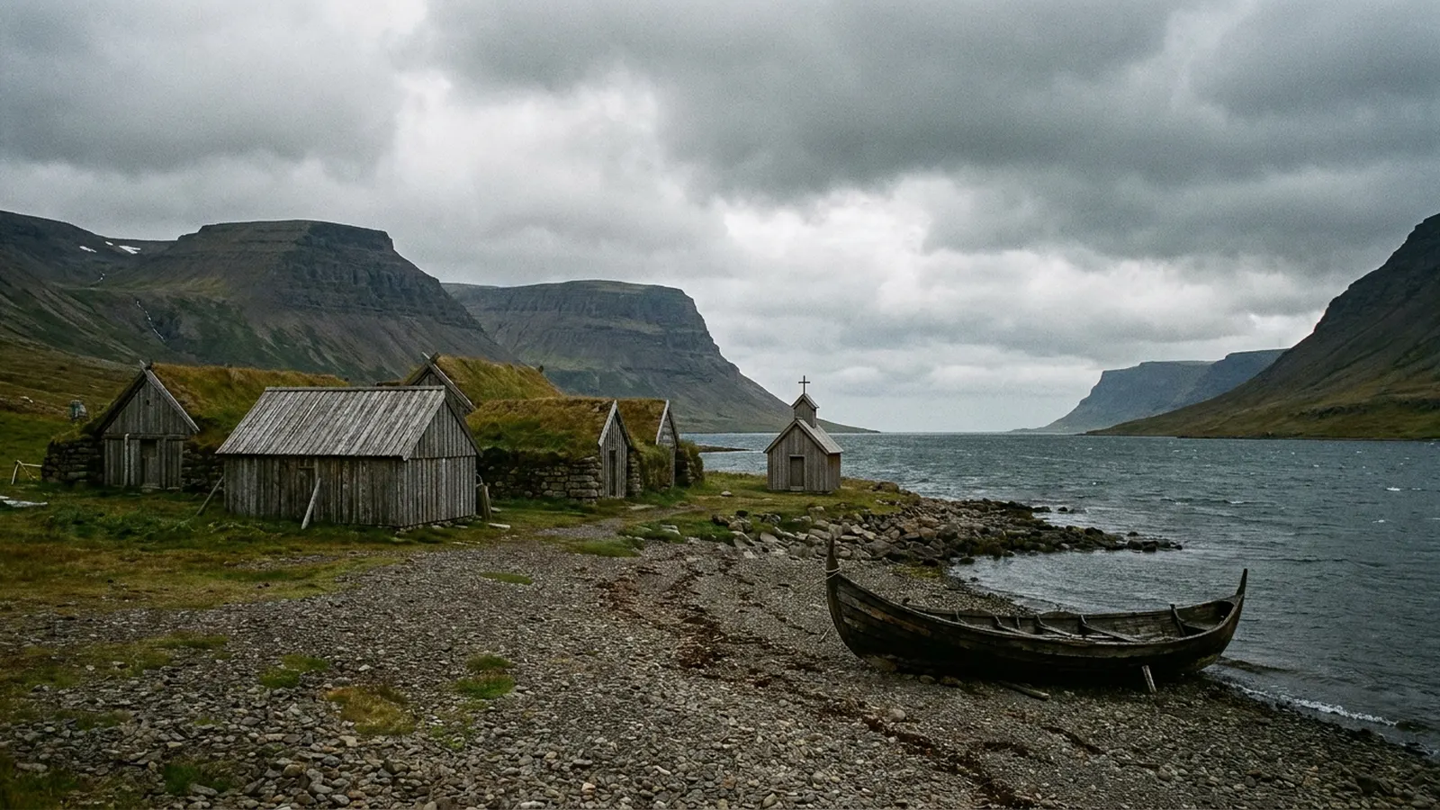
Who was the real Hrafn Sveinbjarnarson?
Hrafn Sveinbjarnarson lived from about 1166 to 1213 and came from Eyri in Arnarfjörður, in Iceland’s remote Westfjords. He was a chieftain, a farmer and, above all, a physician, one of the first Icelanders remembered for medical skill. His saga describes him treating wounds, letting blood, cutting for bladder stones and caring for the sick without charge, and it notes that he traveled abroad as a pilgrim, visiting the shrine of Thomas Becket at Canterbury and continuing south toward Rome.
He lived during the Sturlung era, a period of feuds between powerful Icelandic families, and those feuds killed him. In 1213 a rival chieftain, Þorvaldur Vatnsfirðingur, attacked his farm at night and had him beheaded. His home, renamed Hrafnseyri in his memory, later became famous for a different reason: it is the birthplace of Jón Sigurðsson, the 19th-century leader of Iceland’s independence movement. A respected healer who was generous to the poor was a natural namesake for a working boat, and his name has been given to Icelandic vessels more than once.
What do Icelandic boat names and numbers mean?
Every Icelandic fishing vessel carries a name and a registration mark made of letters and a number. The letters come from the old county, or sýsla, where the boat is registered. GK stands for Gullbringusýsla, the district that covered the Reykjanes Peninsula, including Grindavík and Keflavík. Other common marks include RE for Reykjavík, VE for the Westman Islands and EA for Eyjafjörður and Akureyri.
Owners often reuse a good name when they replace a boat, adding a Roman numeral to tell the hulls apart, which is why a fleet history may include several boats with the same name over decades. When researching a wreck, the registration mark and number are usually more reliable than the name alone, because the same name may have belonged to several hulls at different times.
Why are there wrecks on the Grindavík coast?
Grindavík sits on the exposed south coast of the Reykjanes Peninsula, facing the open North Atlantic. The shoreline is young lava: Hópsnes, the small peninsula that shelters the harbor, is about 2 km long and formed in an eruption roughly 2,800 years ago. Its jagged reefs run out under the surf. Winter storms, heavy swell and short days made the approach to harbor dangerous, and a channel through the reef into the Hópið lagoon was only dug in 1939. A lighthouse has stood at the tip of Hópsnes since 1928. Today hikers on Hópsnes walk past the rusting remains of several boats stranded during the 20th century.
| Feature | Detail |
|---|---|
| Hópsnes peninsula | ~2 km long, ~1 km wide; lava ~2,800 years old |
| Hópsnes lighthouse | Built 1928 at the southern tip |
| Harbor channel | Dug through the reef into Hópið in 1939 |
| Wrecks | Remains of several 20th-century strandings |
| Nearby | Blue Lagoon about 5 km north of town |
What do we know about the Hrafn Sveinbjarnarson III wreck?
Surprisingly little is on public record. No widely available English or Icelandic source firmly dates the stranding, fixes its exact site or gives crew details, so this page does not guess at them. What is clear is the type of vessel, its home port and its namesake. Newspaper archives such as the Icelandic digital library Tímarit.is and Coast Guard records are the places where a fuller account would be found.
Why has Grindavík always lived from the sea?
Grindavík has been a fishing settlement for centuries. Cod spawn on the banks off the south coast of the Reykjanes Peninsula in late winter, and from the Middle Ages farmers and laborers from across Iceland traveled to seasonal fishing stations here to row out in open boats during the winter fishing season. The catch was split, gutted and dried or salted on the lava fields behind the shore.
Salted cod, known as saltfish or bacalao, became one of Iceland’s most important exports, sold in large quantities to Spain, Portugal and other Mediterranean markets. Grindavík’s harbor grew into one of the country’s main fishing ports, and in the late 20th century it was home to several large fishing companies with modern trawlers and longliners. The town’s Saltfish Museum, opened in 2002, tells that history through the boats, tools and people of the saltfish trade.
Who rescues sailors on the Reykjanes coast?
Iceland has no army or navy, and for most of its history help at sea came from neighbors on shore. In 1928 the National Life-Saving Association of Iceland was founded to organize that effort, and local volunteer rescue teams soon formed along the coast. Grindavík’s own unit, the rescue team Þorbjörn, was established in 1930.
Within a year it proved its worth. In March 1931 the French trawler Cap Fagnet ran aground near Grindavík in heavy surf. The rescue team fired a line out to the ship and used a breeches buoy, a canvas seat hung from a rope stretched between ship and shore, to bring the crew to land one at a time. All 38 men were saved, in what is remembered as the first rescue in Iceland using that equipment. The volunteer tradition continues today through the national search and rescue association, Slysavarnafélagið Landsbjörg, whose teams respond to storms, strandings and, in recent years, Grindavík’s volcanic emergencies.
Why is Iceland’s south coast so dangerous for ships?
The southern coast of Iceland has very few natural harbors. Long stretches are open black-sand beaches or low lava shores with reefs running out under the water, and the prevailing storms of the North Atlantic blow onshore from the south and southwest. A vessel losing power or steering in a winter gale is driven toward a coast where there may be no shelter for many miles.
The Atlantic swell adds another danger. Waves generated by distant storms travel hundreds of miles and arrive as long, powerful sets that break unexpectedly far up the beach. At Reynisfjara, farther east, these sneaker waves have swept tourists into the sea, and the same kind of swell has rolled small boats over at harbor mouths. Before modern weather forecasting, radar and satellite positioning, a fishing crew returning in the dark had to find a narrow channel through the reefs by eye and by memory.
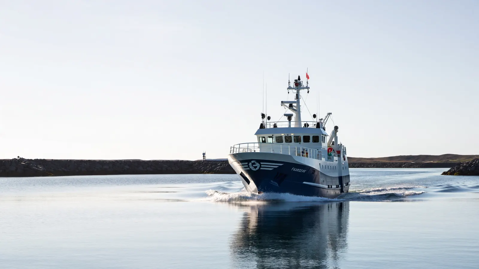
How has fishing in Iceland become safer?
Fishing was long one of the most dangerous jobs in Iceland, and whole crews were lost in single storms. Since the late 20th century the toll has fallen dramatically. Boats are larger and better built, weather forecasts and communications have improved, and the Coast Guard and volunteer rescue teams can reach a vessel quickly by helicopter or rescue boat.
Training has made a big difference too. Iceland’s maritime safety school, run aboard a training ship, requires sailors to complete courses in survival, firefighting and rescue at sea before working on board, with regular refreshers. In some recent years Iceland has recorded no deaths at all among its fishing crews, a result that would have seemed impossible to earlier generations living on this coast.
What has happened to Grindavík since 2023?
In November 2023 an intense swarm of earthquakes signaled that magma was forcing its way into a crack in the crust running beneath Grindavík. On November 10 the whole town was evacuated, and roads and buildings split as the ground sank along a fault through its center. The first eruption broke out on the Sundhnúkur crater row north of the town on December 18, 2023.
Engineers raced to build long earth barriers to steer lava away from the town and from the Svartsengi geothermal power plant nearby. On January 14, 2024, a fissure opened just outside the barriers, and a second, smaller crack opened inside them, sending lava into the northern edge of town, where it burned three houses. On February 8, lava from another eruption cut the pipeline that carries hot water from Svartsengi, leaving tens of thousands of people on the peninsula without central heating in midwinter until a new pipe was laid. Further eruptions followed through 2024 and into 2025, and the famous Blue Lagoon spa nearby was repeatedly closed.
For a fishing town built on its harbor, the timing was especially hard. Boats and fish processing moved to other ports while the town was off limits, and many residents settled elsewhere. Whether Grindavík fully recovers will depend on how long the volcanic episode lasts, which scientists cannot yet predict. Eruptions on the Reykjanes Peninsula in the past have come in episodes lasting decades.
What happens to a wreck left on a lava shore?
A steel boat stranded on an exposed Icelandic coast does not last long in one piece. Breaking waves lift and drop the hull on the rocks, tearing plates and twisting frames, and the salt spray that coats the steel speeds up rust. Within a few years a wreck may be reduced to its heaviest parts: the engine block, the propeller shaft, winches and sections of keel wedged between boulders.
Where a wreck threatens to spill oil or block a channel, owners and the authorities try to refloat it or cut it up and remove it. Many old strandings on the Reykjanes coast happened before such rules, and their leftovers have become part of the landscape. Rust-red engine parts among black lava are now a familiar sight to walkers on Hópsnes, a quiet reminder of the boats and crews that never made it into harbor.
How can you research an Icelandic shipwreck?
Iceland keeps unusually good maritime records, and much of it is free online. Tímarit.is, run by the National and University Library of Iceland, has digitized more than a century of Icelandic newspapers and magazines, and strandings and losses at sea were reported in detail, often with the vessel’s name, registration mark, crew list and the rescue story. Searching both the boat’s name and its registration mark, such as GK followed by the number, gives the best results, because names were reused.
The Icelandic Transport Authority keeps the official ship register, which lists current vessels and their histories, and regional museums along the coast hold photographs and logbooks. For older losses, the yearbooks of the national life-saving association recorded rescues and casualties year by year. Pieced together, these sources can usually confirm when and where a boat was lost, what it was doing and whether everyone came home.
Can you visit the wreck coast near Grindavík?
Normally Hópsnes is an easy coastal walk or bike ride from Grindavík, with the lighthouse, old fish-drying and salt huts, and the wreck remains along the shore. Since November 2023, however, a series of eruptions and magma intrusions around Grindavík has forced repeated evacuations: lava breached the town’s defenses in January 2024 and destroyed houses, and eruptions continued into 2025. The town’s population of about 3,700 fell to a small fraction of that. Access to the town and nearby trails has been restricted at times, so check the Icelandic Met Office and local police guidance before you go.
What else is there to see on the Reykjanes coast?
The Reykjanes Peninsula is a UNESCO Global Geopark, recognized for the way it exposes the Mid-Atlantic Ridge on land. Lava fields, crater rows, steaming geothermal areas and sea cliffs line the coast west of Grindavík. At the peninsula’s southwestern tip stands Reykjanesviti, the site of Iceland’s first lighthouse, lit in 1878; the present tower dates from 1908. Nearby, the Bridge Between Continents spans a fissure that marks the spreading boundary between the North American and Eurasian plates.
Many of the region’s sights lie close to the shoreline where boats once came to grief, and visitors driving the coast road pass both old wreck sites and modern harbors. When the volcanic area near Grindavík is closed, much of the rest of the peninsula usually remains open, but road conditions, gas pollution warnings and eruption alerts change quickly, so it pays to check official updates on the day.
How does it compare with other wrecks on TheSea?
It is a recent, working-boat wreck, like the stranded La Famille Express in the Turks and Caicos or the General Beauregard visible at low tide in North Carolina. For cold, northern wrecks, see Lake Superior shipwrecks.
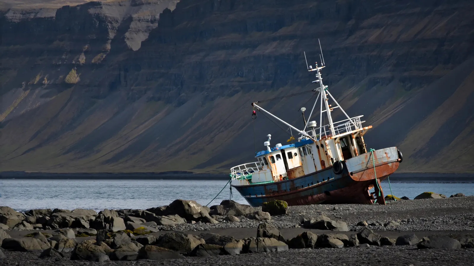
What was the Hrafn Sveinbjarnarson III?
A 20th-century Icelandic fishing vessel associated with Grindavík, not a Viking ship.
Where is the Hrafn Sveinbjarnarson III shipwreck?
It is associated with the Grindavík coast on Iceland’s Reykjanes Peninsula, where several 20th-century wrecks lie around Hópsnes; we could not confirm the exact spot.
Who was Hrafn Sveinbjarnarson?
A 13th-century Icelandic chieftain and physician whose life is told in a saga.
Why is it called III?
Icelandic fishing boats often reuse a name with Roman numerals as new boats replace old ones.
Was the Hrafn Sveinbjarnarson III a Viking ship?
No. That claim in an older version of this page was wrong.
Can you visit Grindavík’s shipwrecks?
Normally yes, on foot at Hópsnes, but eruptions since 2023 have restricted access. Check current advice.
Is there still a ship called Hrafn Sveinbjarnarson?
Yes. A trawler named Hrafn Sveinbjarnarson GK 255 is in the Icelandic ship register.
- Wikipedia: Grindavík (Hópsnes, harbor, 2023–2024 eruptions).
- Visit Iceland / Reykjanes: Hópsnes.
- Morgunblaðið 200 mílur ship register: Hrafn Sveinbjarnarson GK 255.
- Hrafns saga Sveinbjarnarsonar (13th century), the saga of the physician and chieftain Hrafn Sveinbjarnarson.
- Slysavarnafélagið Landsbjörg (ICE-SAR): history of Icelandic volunteer sea rescue, including the Cap Fagnet rescue of 1931.
- Icelandic Met Office (Veðurstofa Íslands): Sundhnúkur crater row eruptions near Grindavík, 2023–2025.
- Reykjanes UNESCO Global Geopark: Hópsnes and Reykjanesviti.
Blane Perun has been exploring Earth’s oceans and marine life for over 25 years. Founder of TheSea.Org in 1999, underwater photographer, coral aquaculture pioneer, and explorer of 80+ countries.
About Blane Perun →