Somalia Coral Reef Maps — Reefs at Both Ends of Africa’s Longest Coast
Somalia has the longest coastline of any country in mainland Africa, but its coral reefs are concentrated at the two ends of it. In the far south, near the Kenyan border, fringing reefs surround the Bajuni Islands and the adjacent coast, forming the northern tip of the East African reef system. In the north, scattered reefs fringe the Gulf of Aden coast, from the Berbera area west to the Saad ad-Din islands near Zeila and the Djibouti border. Much of the long Indian Ocean coast in between has little coral because of strong seasonal upwelling of cold water. UNEP-WCMC maps roughly 251 km² of reef in Somali waters.
Somalia’s reefs are a puzzle for anyone who looks at a map of the Western Indian Ocean. Kenya, to the south, has an almost continuous fringing reef. The Red Sea, to the north, is one of the great coral seas of the world. Yet along most of Somalia’s immense coastline, between those two reef-rich regions, coral is sparse. The explanation lies in the ocean itself, and it gives Somalia one of the most distinctive reef maps in Africa.
Somalia coral reef map
Two reef regions, more than a thousand kilometres apart, with upwelling coast in between.
On the map, the coral shading clusters in the far south, around the chain of small islands and channels known as the Bajuni Islands between Kismayo and the Kenyan border, and in the north along the Gulf of Aden. The long Indian Ocean coast from south of Mogadishu up to Cape Guardafui — the tip of the Horn of Africa — shows only scattered reef.
The outlines come from the global warm-water coral reef dataset compiled by UNEP-WCMC and partners. For Somalia, that dataset relies heavily on satellite imagery and older surveys, because few modern field surveys have been possible. The real extent of reef, particularly in the south, may be larger or smaller than shown, and the map says nothing about the current condition of the coral.

Why so little coral? The Somali upwelling
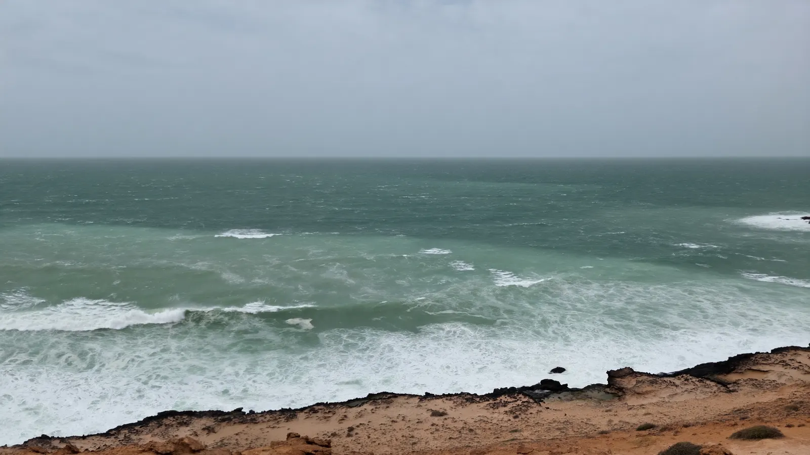
Every summer, monsoon winds pull cold, nutrient-rich water up along the Somali coast.
During the south-west monsoon, roughly June to September, strong winds drive the Somali Current north-eastward along the coast. The winds push surface water offshore, and cold water from depth rises to replace it. This is one of the strongest seasonal upwelling systems in the world’s oceans, and it can cool coastal waters well below the temperatures that reef-building corals prefer.
Reef-building corals generally need warm, clear, relatively nutrient-poor water. Cold, plankton-rich, often murky upwelled water favours seaweeds and filter feeders instead, so coral reefs struggle to develop along much of the central and north-eastern coast. Where the upwelling is weaker — in the sheltered far south and inside the Gulf of Aden — reefs can form. The same physics explains why corals elsewhere are limited to particular conditions, as described in what environment coral reefs form in.
The southern reefs: the Bajuni Islands
Somalia’s richest reefs continue the East African reef system north from Kenya.
The Bajuni Islands are a chain of low coral islands and islets running along the coast between Kismayo and the Kenyan border. Fringing reefs, seagrass beds and mangrove channels surround them, much like the Lamu archipelago just across the border in Kenya. These southern reefs sit in warmer water, less affected by upwelling, and are thought to hold Somalia’s most diverse coral communities, with corals, reef fish and invertebrates typical of the wider East African coast.
Because the reefs here connect so closely to Kenya’s, they matter for the whole region. Coral and fish larvae drift along the coast with the currents, so reefs in southern Somalia and northern Kenya are part of one connected system. The coastal communities of the Bajuni Islands have long depended on fishing in these waters.
The northern reefs: Gulf of Aden
Fringing reefs and offshore islands line parts of the northern coast toward Djibouti.
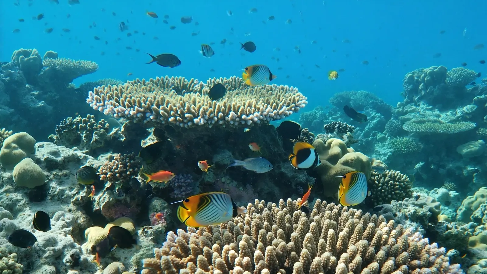
Along the northern coast, facing the Gulf of Aden, reefs fringe parts of the shore around Berbera and further west toward Zeila, where the small Saad ad-Din islands carry coral reefs near the Djibouti border. The Gulf of Aden links the Indian Ocean with the Red Sea, and its reefs share species with both. Conditions here can be harsh — very warm in summer, and affected by seasonal upwelling and turbidity in places — so reefs tend to be patchy fringing reefs rather than large structures.
Among the world’s least-known reefs
Decades of conflict have left Somalia’s reefs largely unsurveyed.
For decades, instability and security risks have made scientific fieldwork along most of the Somali coast very difficult. As a result, much of what is known about Somalia’s reefs comes from older expeditions, remote sensing and a handful of more recent surveys. Basic questions — how much live coral there is, how reefs fared in global bleaching events, and how many species are present — remain open. Researchers working in the Western Indian Ocean regularly highlight Somalia as one of the largest gaps in reef knowledge in the region.
That lack of data matters. Without baseline surveys, it is hard to set up protected areas, manage fisheries or detect change. Filling the gap would also help complete the picture of how reefs connect along the whole East African coast.
Fisheries, pressures and the future
The productive Somali waters support fisheries, but reef protection is still in its infancy.
The same upwelling that limits coral makes Somali waters highly productive, supporting rich fisheries offshore. Reefs, where they occur, provide nursery habitat and reef fish for coastal communities. Somalia’s coast has seen relatively little large-scale coastal development, which has spared many reefs from some of the land-based pressures seen elsewhere. However, the lack of effective fisheries management has left Somali waters exposed to unregulated and illegal fishing, including by foreign vessels, and there is little formal reef protection.
Like all reefs, Somalia’s are exposed to marine heatwaves and bleaching; the 1998 global bleaching event hit reefs across East Africa hard. The cooler upwelled water may offer some local relief from heat in places, but it is not a guarantee. Building survey capacity, community-based fisheries management and protected areas are the key long-term needs. You can explore the wider picture on our coral reef conservation pages.
Related on TheSea
Does Somalia have coral reefs?
Yes. Somalia has coral reefs mainly in the far south, around the Bajuni Islands near the Kenyan border, and in the north along the Gulf of Aden. The UNEP-WCMC dataset maps roughly 251 km² of reef in Somali waters.
Why does Somalia have so few coral reefs for its coastline?
Strong seasonal upwelling driven by the south-west monsoon brings cold, nutrient-rich water to the surface along much of the coast. These cool, productive waters favour fisheries and seaweeds rather than reef-building corals.
What are the Bajuni Islands?
A chain of small coral islands along Somalia’s southern coast between Kismayo and the Kenyan border, surrounded by fringing reefs, seagrass and mangroves. They hold some of Somalia’s richest reefs.
Are there coral reefs in the Gulf of Aden?
Yes. Fringing reefs occur along parts of the Gulf of Aden coast, including off northern Somalia around Berbera and the Saad ad-Din islands near Zeila, as well as off Djibouti and Yemen.
Can you dive in Somalia?
Recreational diving is very limited because of security concerns and a lack of tourism infrastructure. Always check current government travel advice before considering any travel to the region.
What threatens Somalia’s coral reefs?
Marine heatwaves and bleaching, unregulated and illegal fishing, and the lack of monitoring and formal protection. Because so few surveys have been done, many impacts go unrecorded.
- UNEP-WCMC, WorldFish Centre, WRI, TNC: Global distribution of warm-water coral reefs, v4.1 (2021)
- Global Coral Reef Monitoring Network: Status of coral reefs of the Western Indian Ocean
- Western Indian Ocean Marine Science Association (WIOMSA)
Blane Perun has been exploring Earth’s oceans and marine life for over 25 years. Founder of TheSea.Org in 1999, underwater photographer, coral aquaculture pioneer, and explorer of 80+ countries.
About Blane Perun → More African Coral Reef Maps →