Sunken Cities — Real Underwater Cities and How They Sank
Sunken cities are real, and dozens are known. They range from Atlit Yam, a Neolithic village off Israel dated to about 7200–6500 BC, to Pavlopetri in Greece, around 5,000 years old, to the pirate port of Port Royal, Jamaica, two-thirds of which slid into the sea in the earthquake of 7 June 1692. They sank in four main ways: earthquakes, slow ground subsidence, sea-level rise since the last ice age, and modern dams. Atlantis, by contrast, remains a legend.
Are sunken cities real?

Yes, and archaeologists keep finding more.
Many of the world’s earliest settlements were on coasts, and coasts are unstable. Since the last ice age ended around 20,000 years ago, global sea level has risen by roughly 120 m, drowning whole landscapes where people once lived. Earthquakes and volcanic ground movement have dropped other towns into the sea in a single day. Divers and sonar surveys are still finding new sites, and many more almost certainly wait on continental shelves that have never been mapped in detail. See how many sunken cities are there?
The drowned landscapes are often bigger than any single city. Doggerland, the low plain that once joined Britain to mainland Europe across what is now the southern North Sea, was home to hunter-gatherers until rising water cut Britain off and finally covered the last of it roughly 8,000 years ago. Trawlers there have dredged up animal bones, worked flints and harpoon points for more than a century. The settlements on such plains were mostly small camps and villages rather than cities, but they show how much of early human history now lies on continental shelves, far from where archaeologists usually dig.
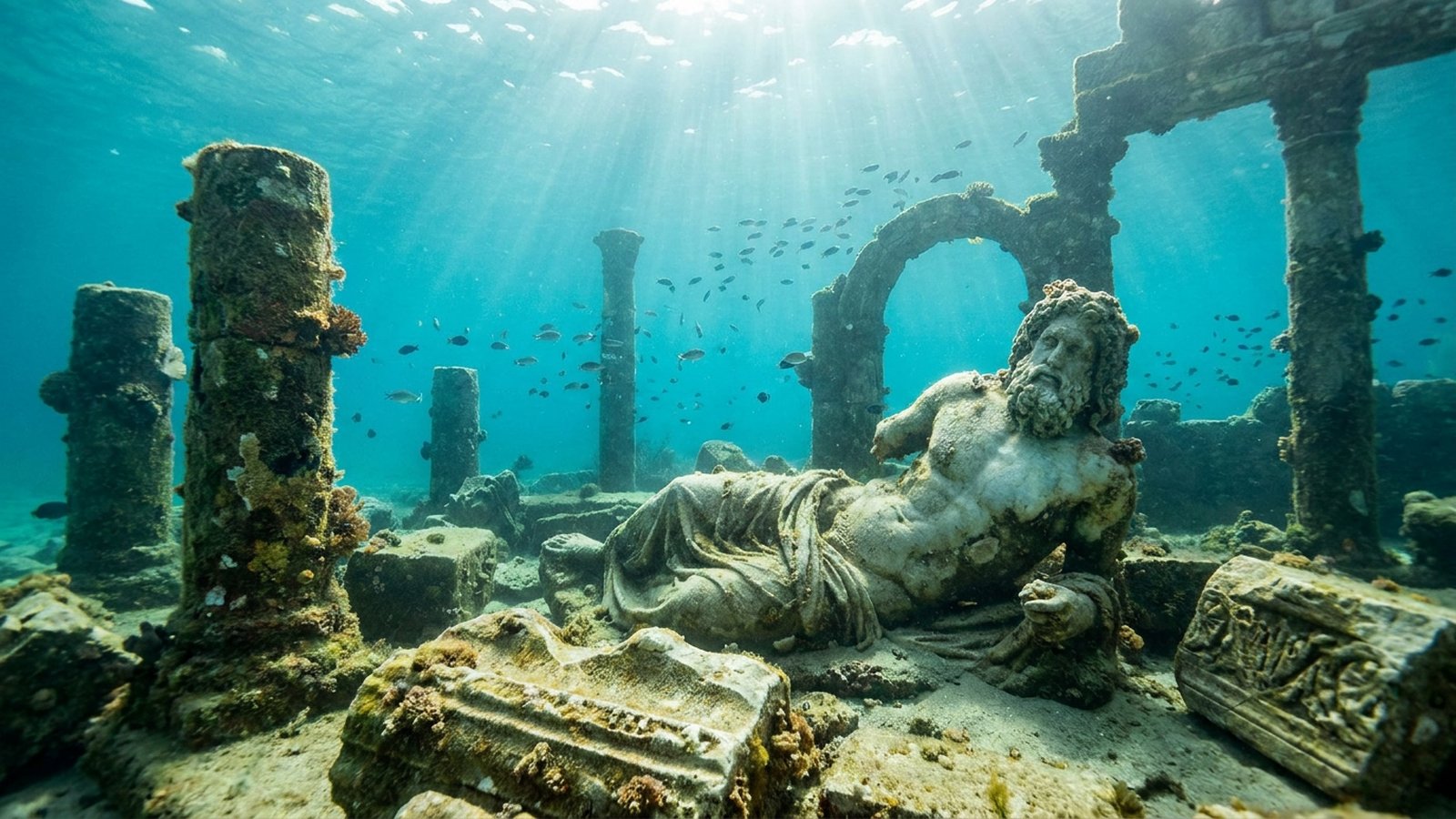
Famous sunken cities and how they sank
| City | Where | Age | How it sank |
|---|---|---|---|
| Atlit Yam | Off Atlit, Israel | c. 6900–6300 BC | Debated: sea-level rise, possibly a tsunami |
| Pavlopetri | Laconia, Greece | c. 3000–1000 BC | Probably earthquakes and subsidence |
| Thonis-Heracleion | Abu Qir Bay, Egypt | Founded c. 8th century BC | Floods, soil liquefaction; gone by the 8th century AD |
| Cleopatra’s palace | Alexandria, Egypt | Ptolemaic era | Earthquakes and subsidence of the harbour |
| Phanagoria | Taman Peninsula, Russia | Founded c. 540 BC | Ground movement and rising Black Sea |
| Baiae | Bay of Naples, Italy | Roman resort | Bradyseism: volcanic ground sinking |
| Olous | Elounda, Crete | Ancient Greek | Earthquake-related subsidence |
| Epidaurus | Argolid, Greece | Ancient Greek | Coastal subsidence |
| Port Royal | Kingston Harbour, Jamaica | 17th century | Earthquake and tsunami, 7 June 1692 |
| Shicheng | Zhejiang, China | Han or Tang origins | Flooded for the Xin’anjiang Dam, 1959 |
| Sunken City, San Pedro | Los Angeles, USA | 1920s homes | Cliff landslide from 1929 |
| Yonaguni Monument | Ryukyu Islands, Japan | Disputed | Likely natural rock, not a city |
| Cuba “sunken city” | Off western Cuba | Unproven | Sonar images; most scientists think natural |
| Atlantis | Legend | Plato, c. 360 BC | Myth; no archaeological evidence |
How do cities end up underwater?
Earthquakes. Port Royal, on the tip of the Palisadoes sand spit at the mouth of Kingston Harbour, was one of the richest towns in the English Caribbean, with about 6,500 people living in some 2,000 buildings, many of them brick and several storeys high. At about 11:43 in the morning of 7 June 1692 an earthquake estimated at magnitude 7.5 struck. The loose sand under the town liquefied, and about two-thirds of Port Royal, roughly 13 hectares, slid into the sea within minutes. About 2,000 people died in the earthquake and tsunami, and around 3,000 more died over the following days from injuries and disease. When Edwin Link’s divers excavated the site in 1959 they recovered a pocket watch, made around 1686, whose hands had stopped at 11:43.
Slow subsidence. At Baiae, on the Bay of Naples, the ground rises and falls with the magma beneath the Campi Flegrei volcanic field, a process called bradyseism. Baiae was the most fashionable resort of the Roman elite, with villas linked to Julius Caesar, Augustus, Nero and Caligula, and a nymphaeum built for the emperor Claudius. Between the 3rd and 5th centuries AD much of the town sank below the sea. The ruins now lie only about 4 m down, in a marine protected area of some 437 acres that has been protected since 2002.
Rising seas. At the peak of the last ice age, around 20,000 years ago, so much water was locked up in ice sheets that sea level was roughly 120 m lower than today. As the ice melted, the sea crept over coastal plains where people had lived for thousands of years. Atlit Yam, a Neolithic village off the coast of Israel, was drowned this way. It now lies 8–12 m deep and 300–400 m offshore. Some researchers have also linked its abandonment to a possible tsunami caused by a collapse on the flank of Mount Etna about 8,500 years ago, but that remains a hypothesis.
Dams. In the 20th century people began to drown towns on purpose. Shicheng, the “Lion City” in Zhejiang province, eastern China, dates back to the Eastern Han dynasty and was first set up as a county seat in AD 208. It was submerged when the Xin’anjiang hydroelectric reservoir, now Qiandao Lake, was filled around 1959, and its county was merged into neighbouring Chun’an. The city lies about 26–40 m deep. Cold, still fresh water and the absence of waves have kept its stone gates, walls and carvings in remarkable condition.
The most important sunken cities
Pavlopetri, Greece. The geo-archaeologist Nic Flemming found the submerged town off the coast of Laconia in 1967. The next year a Cambridge University team mapped it using only snorkels and tape measures. The site was then left alone for about 40 years. In 2009 a five-year project led by Elias Spondylis of the Greek Ephorate of Underwater Antiquities, with Flemming and Jon Henderson of the University of Nottingham, re-surveyed it with laser range-finding and high-frequency sonar. The team found Late Neolithic pottery, showing the settlement was at least 5,000 years old, about 1,200 years older than previously thought. The town covers about 100,000 square metres, with streets, buildings and tombs that together form an almost complete town plan. That is why Pavlopetri is often called the oldest submerged town with a known street layout.
Thonis-Heracleion, Egypt. For centuries this city was known only from texts. Herodotus described a great temple of Herakles there, and legend said Helen of Troy and Paris visited it. In 2000 the French underwater archaeologist Franck Goddio and the European Institute for Underwater Archaeology located it about 6.5 km off the coast in Abu Qir Bay, near Alexandria. A four-year geophysical survey followed. The finds include 64 ships, about 700 anchors, gold coins, statues around 5 m tall and the remains of the temple of Amun-Gereb. The city was probably founded in the 8th or 7th century BC and served as Egypt’s main customs port for Mediterranean trade before Alexandria rose. Heavy stone buildings stood on waterlogged clay and sand, and a combination of earthquakes, subsidence and rising sea level seems to have carried the city under water by about 1,200 years ago.
Atlit Yam, Israel. The marine archaeologist Ehud Galili spotted the site in 1984 while surveying for shipwrecks off the Carmel coast. It covers about 6 hectares and dates to roughly 6900–6300 BC (some estimates run a few centuries earlier). Divers have mapped rectangular houses, a 5.5 m deep stone-lined well and a semicircle of seven megaliths of about 600 kg each arranged around a spring. More than 90 human burials have been found, including a woman and child with the earliest known evidence of tuberculosis. Over 6,000 fish remains, mostly grey triggerfish, suggest that the villagers stored or traded fish.
Port Royal, Jamaica. The 1692 town is unusual because it sank in a single day and so preserves an instant snapshot of life in a 17th-century port. Buildings, tools, pottery and personal belongings lie where they fell. Excavations by Edwin Link in the late 1950s and later by Texas A&M University have recovered thousands of objects. Diving on the site is restricted to permitted archaeological work.
Alexandria’s sunken royal quarter
Alexandria is the best example of a great city that lost part of itself to the sea while the rest lived on. Franck Goddio’s team began topographical surveys of the Eastern Harbour in the early 1990s, working with Egypt’s Supreme Council of Antiquities, and located the submerged Royal Quarters in 1996. Under the harbour sediment lie the remains of the island of Antirhodos with a temple to Isis, the Timonium that Mark Antony commissioned as a retreat after his defeat at Actium, two sphinxes (one probably representing Ptolemy XII, Cleopatra’s father), a colossal stone head thought to show Caesarion, Cleopatra’s son with Julius Caesar, and many granite statues and temple blocks. Earthquakes and tsunamis in the 4th and 8th centuries AD toppled the complex into the harbour, and after the 8th-century disaster the Eastern Harbour was abandoned. Visibility is poor and the remains are buried, so most visitors see the finds in museums and touring exhibitions rather than underwater.
Why sunken cities survive so well
It can seem strange that cities survive better under the sea than on land, but water protects as well as destroys. A town that sinks is no longer quarried for building stone, ploughed over or rebuilt, which is what erases most ancient settlements on land. Once buried in fine sand or mud, organic materials such as wood, rope, seeds and bone are sealed away from oxygen, which slows the bacteria and fungi that would otherwise rot them. That is why Atlit Yam still yields charcoal, seeds and branches that can be radiocarbon dated, and why Port Royal has produced wooden objects and leather alongside brick and pewter.
Exposure is the enemy. Waves and currents wear away walls standing proud of the sea bed, marine animals bore into exposed wood and soft stone, and storms can strip away protective sand in a single winter. At Pavlopetri, part of the 2009 work was to model winds and waves to understand how sand moves across the site, because a submerged rock ridge has sheltered the town from the worst erosion. Fresh water is gentler still. Shicheng sits in a deep, still reservoir with no waves and no salt, which is why its carved stone has kept fine detail for more than six decades underwater.
The same processes make sunken cities fragile once they are found. Divers stirring up sediment, anchors dropped on ruins and the removal of artefacts as souvenirs all damage sites that took centuries to stabilise. That is why many governments restrict access, and why the UNESCO Convention on the Protection of the Underwater Cultural Heritage, adopted in 2001, favours preserving sites in place as the first option.
How archaeologists find and study sunken cities
Most sunken settlements are found by accident: by fishermen snagging nets, by sport divers, by sand dredging, or during searches for shipwrecks, as at Atlit Yam. Once a site is known, archaeologists use the same tools as hydrographic surveyors. Side-scan and sector-scanning sonar build images of the sea floor. Sub-bottom profilers look through the sediment, and magnetometers pick up buried metal and fired materials such as pottery and brick. At Pavlopetri, the 2009 team combined surface laser range-finding with underwater sonar to produce a three-dimensional model of the town, and oceanographers modelled waves and currents to see how sand was moving across the ruins.
Excavation underwater is slow and expensive. Divers remove sediment with airlifts and water dredges, record every object in place with photographs and measurements, and raise only what can be conserved. Objects that have lain in salt water for centuries soak up salts that crystallise and crack them as they dry, so they must be desalinated in fresh water, often for months or years. For that reason many sunken cities are recorded and left in place rather than dug up, and the most important sites are protected by law.
Atlantis, Yonaguni and other “sunken cities” that are not
Not every underwater ruin is what it seems. Atlantis comes from two dialogues by Plato written around 360 BC, the Timaeus and Critias, where it serves as a moral tale about a proud naval power. No archaeological evidence has ever been found for it. The Yonaguni Monument off southern Japan is a set of stepped sandstone terraces that some writers see as a carved pyramid, but most geologists explain it as natural fracturing of the rock along regular bedding planes and joints. The sonar images of a supposed “city” at great depth off western Cuba, reported in 2001, have never been confirmed by any excavation or published study, and most scientists consider the shapes natural. Real sunken cities are identified by datable artefacts, buildings and human remains, not by geometric shapes on a sonar screen.
Can you dive sunken cities?

Several are open to divers and snorkellers. Baiae’s underwater park in Italy is the easiest, with mosaics and statues at a few metres. Visitors can dive along marked underwater routes, snorkel, paddle a canoe or take a glass-bottomed boat, and around 16,000 people a year visit. Pavlopetri lies in just a few metres of water, though it is protected. Port Royal and Thonis-Heracleion are restricted to permitted archaeologists. Shicheng requires technical freshwater diving with an approved operator. Wherever you go, the rule is the same as on any wreck: look, do not touch or take.
Are sunken cities real?
Yes. Dozens are known, including Pavlopetri in Greece, Thonis-Heracleion in Egypt, Baiae in Italy and Port Royal in Jamaica.
What is the oldest sunken city?
Among the oldest is Atlit Yam off Israel, a Neolithic village of about 6900–6300 BC; Pavlopetri, c. 3000 BC, is often called the oldest submerged town with a street plan.
How did cities end up underwater?
Earthquakes, slow land subsidence, sea-level rise after the last ice age and, in modern times, dam reservoirs.
When did Port Royal sink?
On 7 June 1692, when an earthquake liquefied the sandy ground and two-thirds of the town slid into the sea.
Was Atlantis a real sunken city?
There is no archaeological evidence; Atlantis comes from Plato’s dialogues and is generally regarded as a myth.
Can you dive in a sunken city?
Yes, at sites such as Baiae in Italy; others, like Port Royal and Thonis-Heracleion, are restricted to archaeologists.
How much has sea level risen since the last ice age?
Roughly 120 m, drowning many ancient coastal settlements.
- Henderson, J., Spondylis, E. & Flemming, N. Pavlopetri Underwater Archaeology Project, University of Nottingham / Hellenic Ministry of Culture (2009 announcement).
- Hakai Magazine, “Real sunken cities.” Pavlopetri, Port Royal, Baiae, Point Fermin.
- Franck Goddio / European Institute for Underwater Archaeology. Thonis-Heracleion excavations from 2000.
- Galili, E. et al. Atlit-Yam: a prehistoric site on the sea floor off the Israeli coast. Journal of Field Archaeology.
- 1692 Jamaica earthquake: contemporary accounts and USGS-based magnitude estimates; Link, E. (1959) Port Royal excavation.
- Campi Flegrei Archaeological Park: Parco Sommerso di Baia visitor information.
Blane Perun has been exploring Earth’s oceans and marine life for over 25 years. Founder of TheSea.Org in 1999, underwater photographer, coral aquaculture pioneer, and explorer of 80+ countries.
About Blane Perun →