What Ocean Lies Completely in the Eastern Hemisphere? — The Indian Ocean
The Indian Ocean. Its western limit with the Atlantic runs south from Cape Agulhas along about 20°E, and its eastern limit with the Pacific lies around 147°E south of Tasmania, so the whole ocean lies east of the prime meridian. It is mostly in the Southern Hemisphere too, though it extends north to the Arabian Sea and Bay of Bengal.
The Eastern Hemisphere is the half of Earth east of the prime meridian (0°) and west of the 180° meridian. The Indian Ocean, bounded by Africa, Asia, Australia and the Southern Ocean, fits entirely within it. The Atlantic straddles the prime meridian, the Pacific straddles the 180° meridian, and the polar Arctic and Southern oceans encircle the poles, crossing every meridian.
Which hemispheres does each ocean cover?
Only the Indian Ocean fits entirely inside one east-west hemisphere.
| Ocean | East/West | North/South |
|---|---|---|
| Indian | Eastern only | Mostly Southern; some Northern |
| Pacific | Both (crosses 180°) | Both |
| Atlantic | Both (crosses 0°) | Both |
| Arctic | Both | Northern only |
| Southern | Both | Southern only |
So for the north–south split: the Arctic lies entirely in the Northern Hemisphere and the Southern Ocean entirely in the Southern Hemisphere.
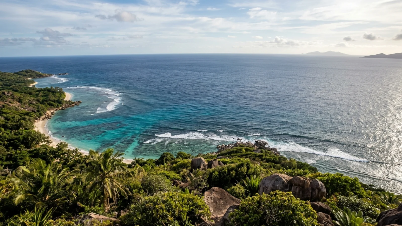
Where are the Indian Ocean’s boundaries?
Africa to the west, Asia to the north, Australia and Indonesia to the east, and the Southern Ocean to the south.
The International Hydrographic Organization separates the Indian from the Atlantic along the meridian of Cape Agulhas, South Africa’s southernmost point (about 20°E), and from the Pacific along a line through the Indonesian islands and south of Australia along roughly 146°55′E. Its southern limit meets the Southern Ocean at 60°S. Marginal seas include the Arabian Sea, Red Sea, Persian Gulf, Bay of Bengal, Andaman Sea and Timor Sea. See where the Indian and Atlantic oceans meet.
What makes the Indian Ocean unique?
It is the warmest of the major oceans, landlocked to the north, and dominated by the monsoon.
Because Asia blocks it to the north, the Indian Ocean has no connection to the Arctic, and its northern part reverses currents twice a year with the monsoon winds. It is the warmest ocean overall and has been warming quickly. It holds the third-largest area after the Pacific and Atlantic. The 2004 Indian Ocean tsunami was among the deadliest natural disasters in history; see how many died in the Indian Ocean tsunami and why it is named after India.
What are the Eastern and Western hemispheres?
They are the two halves of Earth divided by the prime meridian (0°) and the 180° meridian.
The prime meridian runs through the Royal Observatory at Greenwich, London, and was adopted internationally in 1884. Everything east of it to 180° is the Eastern Hemisphere, containing most of Africa, Europe, Asia and Australia; everything west is the Western Hemisphere, containing the Americas. Unlike the equator, which is defined by Earth’s rotation, the prime meridian is a human convention, so the “Eastern Hemisphere” is a cartographic rather than physical division. Because the 180° meridian runs through the Pacific and the prime meridian through the Atlantic, both of those oceans are split between hemispheres, leaving the Indian Ocean as the only ocean on one side. Some quiz sources answer “Arctic” or “Southern” by mistake, confusing east–west with north–south. See where the prime meridian crosses the equator.
How the dividing line was chosen
The answer to this question depends entirely on where the world agreed to put zero degrees of longitude, and that was a political decision as much as a scientific one. In October 1884, delegates met in Washington, D.C., at the International Meridian Conference to choose a single prime meridian for the world. Railways and telegraphs had made dozens of local time systems and national meridians a practical nuisance, and ship navigators already used Greenwich-based charts widely. The resolution fixing the prime meridian at Greenwich passed by 22 votes to one. San Domingo, now the Dominican Republic, voted against, and France and Brazil abstained. France had argued that the meridian should be strictly neutral, in the same way it regarded the metre as a neutral measure, rather than running through the capital of a rival power.
The line itself has since shifted slightly. The modern reference used by GPS and international geodesy, the IERS Reference Meridian, runs about 102 metres east of the 1851 transit circle of the astronomer George Airy at the Royal Observatory. The difference arises because the old observations relied on the local direction of gravity, while the modern meridian is defined relative to the centre of mass of the Earth. For an ocean thousands of kilometres from Greenwich, a hundred metres makes no difference, but it is a reminder that the hemispheres are drawn by people, not by nature.
Why the Indian Ocean fits so comfortably
The Indian Ocean does not just squeeze inside the Eastern Hemisphere; it sits well clear of both dividing lines. Its western limit, along the meridian of Cape Agulhas at about 20 degrees east, is roughly 1,800 kilometres east of the prime meridian at that latitude. Its eastern limit, at about 147 degrees east south of Tasmania, is more than 30 degrees short of the 180th meridian. The whole ocean spans about 127 degrees of longitude, all of it east of Greenwich.
The other oceans cannot do the same. The prime meridian runs south from Greenwich through western Europe and West Africa, then into the Atlantic and on to Antarctica, so the Atlantic is split. The 180th meridian crosses the Pacific from the Bering Strait to Antarctica, splitting it too. The Arctic and Southern oceans surround the poles, where every meridian meets, so they belong to both hemispheres by definition. That leaves the Indian Ocean as the only ocean on one side of the line. It is also the only ocean with no coastline in the Americas.
A different way to split the world: land and water hemispheres
East and west are not the only way to divide the globe. Geographers can also ask which half of the Earth contains the most land and which the most water. One determination places the centre of the “land hemisphere” in the city of Nantes in western France, and it holds about 80 percent of all the land on the planet, including nearly all of Asia and most of South America. Its opposite, the “water hemisphere”, is centred near New Zealand’s Bounty Islands in the South Pacific. The Pacific is the main ocean of the water hemisphere, but much of the Indian Ocean lies in it too. Viewed from above that point, the Earth looks almost entirely blue, with Australia, Antarctica and the tip of South America around the edges. By comparison, the geographic centre of the Pacific Ocean itself lies far to the north-east of that point, in eastern Kiribati just west of Starbuck Island and south of Kiritimati.
Borders that water ignores
The lines on the map between oceans are conventions. The water itself flows freely across them, and two of the most important connections lie at the Indian Ocean’s edges.
In the east, warm, relatively fresh water from the Pacific flows into the Indian Ocean through the maze of straits in the Indonesian archipelago. This current, the Indonesian Throughflow, is the main low-latitude link between the two oceans, and it matters for global climate. Much of it passes south through the deep Makassar Strait between Borneo and Sulawesi before entering the Indian Ocean. About 15 percent leaves through the narrow Lombok Strait, which is only about 35 kilometres wide and 300 metres deep. Most of the rest, roughly 85 percent, exits through the broad Timor Passage and the narrow Ombai Strait.
In the west, the Agulhas Current runs south along the east coast of Africa. It is fed by the East Madagascar Current, the Mozambique Current and water recirculating south of Madagascar, and its net transport is estimated at about 100 million cubic metres per second, reaching between 95 and 136 near the Agulhas Bank. South of Africa it meets the eastward-flowing Antarctic Circumpolar Current and turns back on itself in the Agulhas Retroflection. Up to about 85 million cubic metres per second returns to the Indian Ocean. The rest leaks into the South Atlantic, as much as 15 million cubic metres per second, often packed into huge rotating eddies called Agulhas rings that pinch off from the current and drift west. This leakage carries warm, salty Indian Ocean water directly into the Atlantic, one of the clearest examples of an ocean boundary that exists only on paper.
The deepest point and the shape of the basin
The deepest part of the Indian Ocean is the Sunda Trench, also called the Java Trench, which curves for about 3,200 kilometres along the southern edge of Indonesia where one tectonic plate dives beneath another. Published figures for its maximum depth vary. On 5 April 2019, the explorer Victor Vescovo made the first crewed dive to its deepest point in the submersible Limiting Factor as part of the Five Deeps Expedition. Direct pressure measurements gave a depth of 7,192 metres, plus or minus 13 metres, at a spot about 500 kilometres south of Bali. The same subduction zone that formed the trench also produced the 2004 Sumatra earthquake and the tsunami that followed.
The Indian Ocean Dipole
The Indian Ocean has its own climate seesaw, comparable to El Niño in the Pacific. The Indian Ocean Dipole, sometimes called the Indian Niño, is an irregular swing in sea surface temperatures between the western and eastern parts of the ocean. It was first identified by climate researchers in 1999. In a positive phase the western Indian Ocean becomes warmer than usual and the eastern part cooler. That tends to bring drought to Indonesia and Australia and heavier “short rains” to East Africa between October and December. During the strong positive event of 1997 to 1998, water temperatures around the Mentawai Islands off Sumatra fell by about 4 degrees Celsius. In a negative phase the pattern reverses.
The dipole helps explain some of Australia’s worst natural disasters. Consecutive positive events are rare; only two runs have been recorded, in 1913 and 1914 and three in a row from 2006 to 2008, which preceded the Black Saturday bushfires of 2009. A strong negative event in late 2010, combined with a strong La Niña in the Pacific, contributed to the Queensland floods of 2010 and 2011. Because the Indian Ocean has no northern outlet and its climate is so tightly linked to the surrounding continents, small changes in its temperature pattern can have outsized effects on the billions of people who live around it.
Old names and new boundaries
The ocean’s boundaries have not always been drawn the same way. The ancient Greeks called much of these waters the Erythraean Sea, literally the “Red Sea”. In the famous first-century Periplus of the Erythraean Sea, that name stretched beyond the Gulf of Aden to cover the present-day Red Sea, the Arabian Sea, the Persian Gulf and the Indian Ocean as a single maritime area. The modern name, taken from India, the great peninsula that juts into the middle of the ocean and divides the Arabian Sea from the Bay of Bengal, came into general use later.
The southern edge has moved too. Before then, the International Hydrographic Organization’s standard definitions extended the Indian, Atlantic and Pacific oceans all the way to Antarctica. In 2000 the organisation defined a fifth ocean, the Southern Ocean, as the water around Antarctica, generally south of 60 degrees south, dominated by the Antarctic Circumpolar Current and with its own distinct ecosystem. Seen from above the South Pole, the Atlantic, Indian and Pacific oceans look like three lobes reaching north from this ring of water. Whichever definition you use, the answer to the hemisphere question does not change: with or without its southern waters, the Indian Ocean stays east of Greenwich and west of the 180th meridian.
An ocean sailed by the wind
The Indian Ocean’s position also shaped human history. In its northern half the prevailing winds reverse with the seasons, blowing from the southwest in summer and the northeast in winter. Sailors who understood the monsoon could cross the open sea in one season and return the next. The Periplus of the Erythraean Sea, a first-century Greek merchant’s guide, credits a navigator named Hippalus with finding the direct route from the Red Sea across the ocean to the ports of southern India. The Roman writer Pliny the Elder said Hippalus had discovered the southwest monsoon wind itself, which sailors called by his name. Historians now think the wind was known much earlier and had long been used by South Arabian and Indian sailors. Either way, the monsoon turned the Indian Ocean into one of the first great trading seas, linking East Africa, Arabia, India and Southeast Asia centuries before Europeans reached it by sea.
What ocean lies completely in the Eastern Hemisphere?
The Indian Ocean.
What ocean is completely in the Northern Hemisphere?
The Arctic Ocean.
What ocean is completely in the Southern Hemisphere?
The Southern Ocean around Antarctica.
Which oceans are in both the Eastern and Western hemispheres?
The Pacific, Atlantic, Arctic and Southern oceans.
Is the Indian Ocean in the Southern Hemisphere?
Mostly, but its northern parts, such as the Arabian Sea and Bay of Bengal, are in the Northern Hemisphere.
Where does the Indian Ocean meet the Atlantic?
Officially along the meridian of Cape Agulhas, about 20°E, South Africa.
- International Hydrographic Organization (1953). Limits of Oceans and Seas, S-23.
- NOAA: How many oceans are there?
- Encyclopædia Britannica: Indian Ocean.
- Wikipedia (accessed 2026): International Meridian Conference; IERS Reference Meridian; Land and water hemispheres; Indonesian Throughflow; Agulhas Current; Sunda Trench; Indian Ocean Dipole; Hippalus; Erythraean Sea; Limits of Oceans and Seas.
Blane Perun has been exploring Earth’s oceans and marine life for over 25 years. Founder of TheSea.Org in 1999, underwater photographer, coral aquaculture pioneer, and explorer of 80+ countries.
