Philippines Coral Reef Maps — Reefs at the Apex of the Coral Triangle
Coral reefs surround almost every part of the Philippines, an archipelago of more than 7,000 islands at the northern apex of the Coral Triangle. Reefs fringe the coasts of Luzon, the Visayas and Mindanao, and rise as offshore reefs and atolls in the Sulu Sea, home of the UNESCO-listed Tubbataha Reefs. Other famous reef areas include Apo Reef off Mindoro, the Verde Island Passage between Luzon and Mindoro, Palawan and Apo Island off Negros. The Philippines has one of the largest reef areas of any country and some of the highest marine biodiversity on Earth.
Few countries are as entwined with coral reefs as the Philippines. Its thousands of islands create an almost endless coastline, and almost all of it is fringed, threaded or ringed with reef. Philippine reefs feed millions of people, protect coastal villages from typhoon waves and draw divers from around the world to sites like Tubbataha, Anilao, Moalboal and Apo Island. This page maps the Philippines’ coral reefs, explains why the country sits at the centre of marine biodiversity, profiles the most important reef areas and looks at the threats and the community-led protection that has made the Philippines a model for reef conservation.
Reading the Philippines coral reef map
On the map, reefs outline the whole archipelago, with the densest signatures in the Visayas, Palawan and the Sulu Sea.
Four seas wash the Philippines: the South China Sea (called the West Philippine Sea in the Philippines) to the west, the Sulu Sea in the south-west, the Celebes Sea to the south and the open Philippine Sea of the Pacific to the east. Fringing reefs line the coasts of the main island groups — Luzon in the north, the central Visayas and Mindanao in the south — while offshore platforms and atolls rise from deeper water, especially in the Sulu Sea.
Look for the long, reef-rich island of Palawan stretching south-west toward Borneo; the tight cluster of reefs in the Visayas around Cebu, Bohol, Negros and Panay; the isolated reef symbols of Tubbataha in the middle of the Sulu Sea; Apo Reef west of Mindoro; and the chain of the Sulu Archipelago leading toward Borneo. The map uses the global reef layer compiled by UNEP-WCMC, which records roughly 13,900 km² of reef. Philippine national estimates are often higher, because they include reef flats and smaller reefs that global datasets can miss.
The centre of marine biodiversity
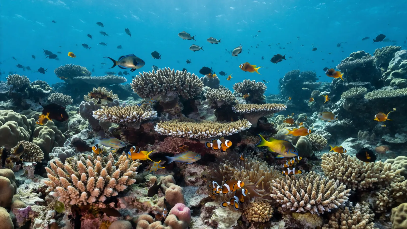
The Philippines sits where great ocean currents meet a maze of islands, and the result is some of the richest reef life on the planet.
The Coral Triangle — spanning the Philippines, Indonesia, Malaysia, Papua New Guinea, Timor-Leste and the Solomon Islands — holds more reef-building coral species than anywhere else on Earth. Within it, the central Philippines stands out. Studies of the distribution of shore fishes identified the Verde Island Passage, between Luzon and Mindoro, as an area with exceptionally high species overlap, leading scientists to describe it as the “centre of the centre” of marine shore-fish biodiversity.
Philippine reefs host hundreds of species of hard coral and well over a thousand species of reef fish, along with giant clams, sea turtles, nudibranchs in astonishing variety, and visitors such as whale sharks, thresher sharks and manta rays. This diversity reflects the archipelago’s position between the Pacific and Indian oceans, its many isolated basins and channels, and the huge range of habitats packed into a small area: reef walls, seagrass meadows, mangroves and deep-water slopes often lie within a short swim of one another.
Major coral reef areas of the Philippines
From remote atolls to village-protected sanctuaries, these are the reef areas that define the country.
| Area | Where | Known for |
|---|---|---|
| Tubbataha Reefs | Central Sulu Sea | Remote atoll park, UNESCO World Heritage, sharks and walls |
| Apo Reef | West of Mindoro | One of the country’s largest continuous reefs; natural park |
| Verde Island Passage | Between Batangas (Luzon) and Mindoro | Exceptional fish diversity; Anilao and Puerto Galera diving |
| Palawan | Western Philippines | El Nido, Coron and extensive fringing reefs |
| Visayas | Cebu, Bohol, Negros, Panay | Moalboal, Balicasag, Apo Island sanctuary |
| Mindanao & Sulu | Southern Philippines | Celebes Sea and Sulu Archipelago reefs |
Tubbataha Reefs Natural Park lies in the middle of the Sulu Sea, around 150 km from Puerto Princesa in Palawan. It protects two large atoll-like reefs and the smaller Jessie Beazley Reef, with steep walls, lagoons and abundant sharks, turtles and large fish. It was inscribed as a UNESCO World Heritage Site in 1993 and extended in 2009, and is a strict no-take area patrolled by park rangers. Diving is possible only on liveaboard trips during a short season, roughly March to June, when seas are calm.
Apo Reef, off the west coast of Mindoro, is one of the largest continuous coral reef systems in the Philippines and is protected as a natural park. Apo Island, a different place off southern Negros, is famous for a community-run marine sanctuary established in the 1980s, which became a classic example of how protecting a small no-take area can increase fish catches nearby.

Threats to Philippine coral reefs
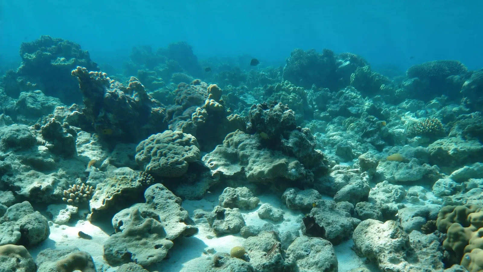
Philippine reefs are among the most valuable in the world and among the most heavily pressured.
With a large and growing coastal population that depends on fish for protein, many Philippine reefs have been heavily fished for decades. Surveys since the 1980s have repeatedly found that only a small share of the country’s reefs are in excellent condition. The main pressures include:
- Destructive fishing. Blast (dynamite) fishing shatters reef structure, and cyanide fishing for the live reef-fish and aquarium trades poisons corals. Both are illegal but have proved hard to stamp out.
- Overfishing. Too many fishers chasing too few fish removes the grazers and predators that keep reefs balanced.
- Sediment and pollution. Deforestation, mining, farming and untreated sewage send mud and nutrients onto reefs.
- Coral bleaching. Marine heatwaves caused widespread bleaching in 1998, 2010 and in more recent global bleaching events. See coral reef bleaching.
- Typhoons. Strong storms break corals, especially on the exposed eastern side of the archipelago.
Why reefs matter to the Philippines
For millions of Filipinos, the reef is not scenery but a source of food, income and safety.
Small-scale municipal fisheries, many of them reef-based, provide food and work for a large share of coastal households. Reef tourism has become a major industry in places such as Palawan, Cebu, Bohol, Batangas and Mindoro, supporting dive centres, resorts and boat crews. And in a country hit by many typhoons each year, fringing reefs and the mangroves behind them help absorb wave energy and reduce damage to coastal communities. Protecting Philippine coral reefs is therefore central to food security, livelihoods and climate resilience. Visitors can help by choosing operators that respect sanctuary rules, paying local reef fees that fund protection, and never buying coral or shell souvenirs.
Where are the best coral reefs in the Philippines?
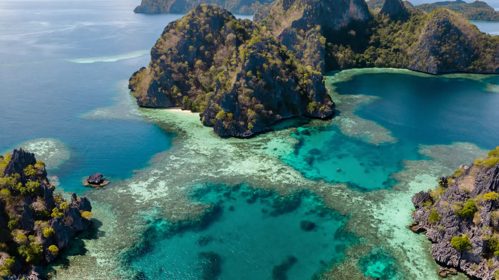
Highlights include Tubbataha Reefs in the Sulu Sea, Apo Reef off Mindoro, the Verde Island Passage (Anilao and Puerto Galera), Palawan (El Nido and Coron), Moalboal and Malapascua off Cebu, Balicasag off Bohol and Apo Island off Negros.
How much coral reef does the Philippines have?
The UNEP-WCMC global reef map records roughly 13,900 km² of reef in the Philippines. National estimates are higher because they include more reef flats and small reefs, placing the country among the world’s largest reef nations.
Why is Tubbataha Reef famous?
Tubbataha is a remote, strictly protected atoll reef in the Sulu Sea with steep walls, healthy coral and abundant sharks, turtles and large fish. It became a UNESCO World Heritage Site in 1993 and is one of the best-protected reefs in Southeast Asia.
Is the Philippines part of the Coral Triangle?
Yes. The Philippines forms the northern part of the Coral Triangle, the region with the highest coral reef biodiversity in the world, together with Indonesia, Malaysia, Papua New Guinea, Timor-Leste and the Solomon Islands.
What is the Verde Island Passage?
The strait between Batangas on Luzon and the island of Mindoro. Studies of shore-fish distributions identified it as having exceptional marine diversity, earning it the nickname “centre of the centre” of marine biodiversity.
What are the biggest threats to Philippine reefs?
Overfishing, illegal blast and cyanide fishing, sediment and sewage pollution, coastal development, typhoons and coral bleaching from marine heatwaves.
- UNEP-WCMC, WorldFish, WRI, TNC (2021), Global distribution of warm-water coral reefs, v4.1
- Carpenter & Springer (2005), the center of the center of marine shore fish biodiversity: the Philippine Islands, Environmental Biology of Fishes
- UNESCO World Heritage Centre — Tubbataha Reefs Natural Park
- Burke et al. (2011), Reefs at Risk Revisited, World Resources Institute
Blane Perun has been exploring Earth’s oceans and marine life for over 25 years. Founder of TheSea.Org in 1999, underwater photographer, coral aquaculture pioneer, and explorer of 80+ countries.
About Blane Perun → More Coral Reef Maps →